Conventional Surveying
Professional Land Surveying Services
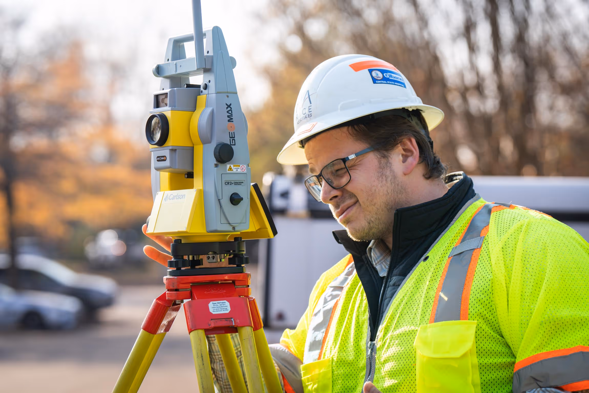
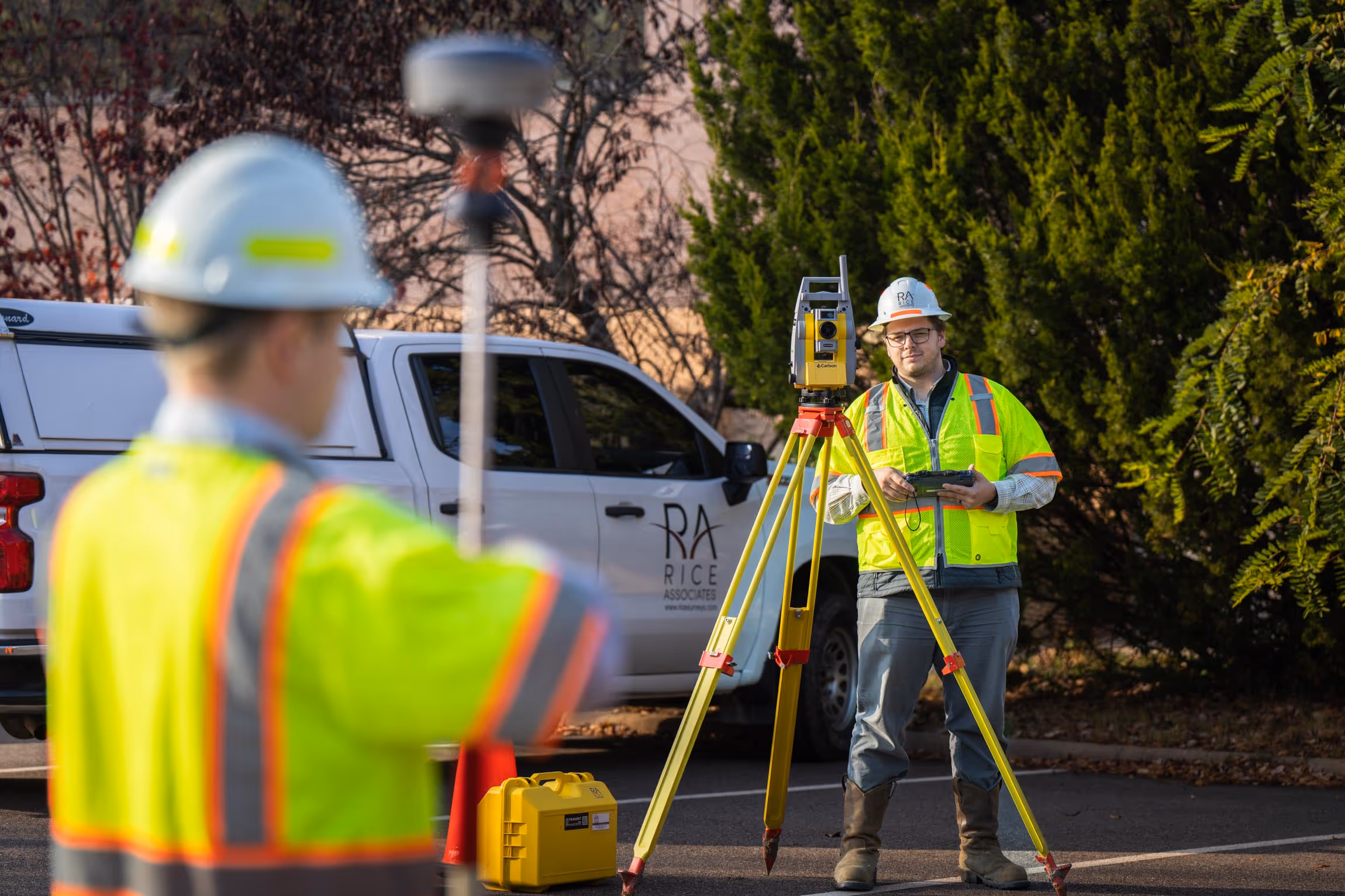
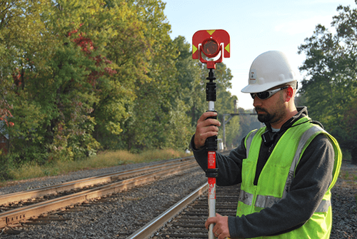
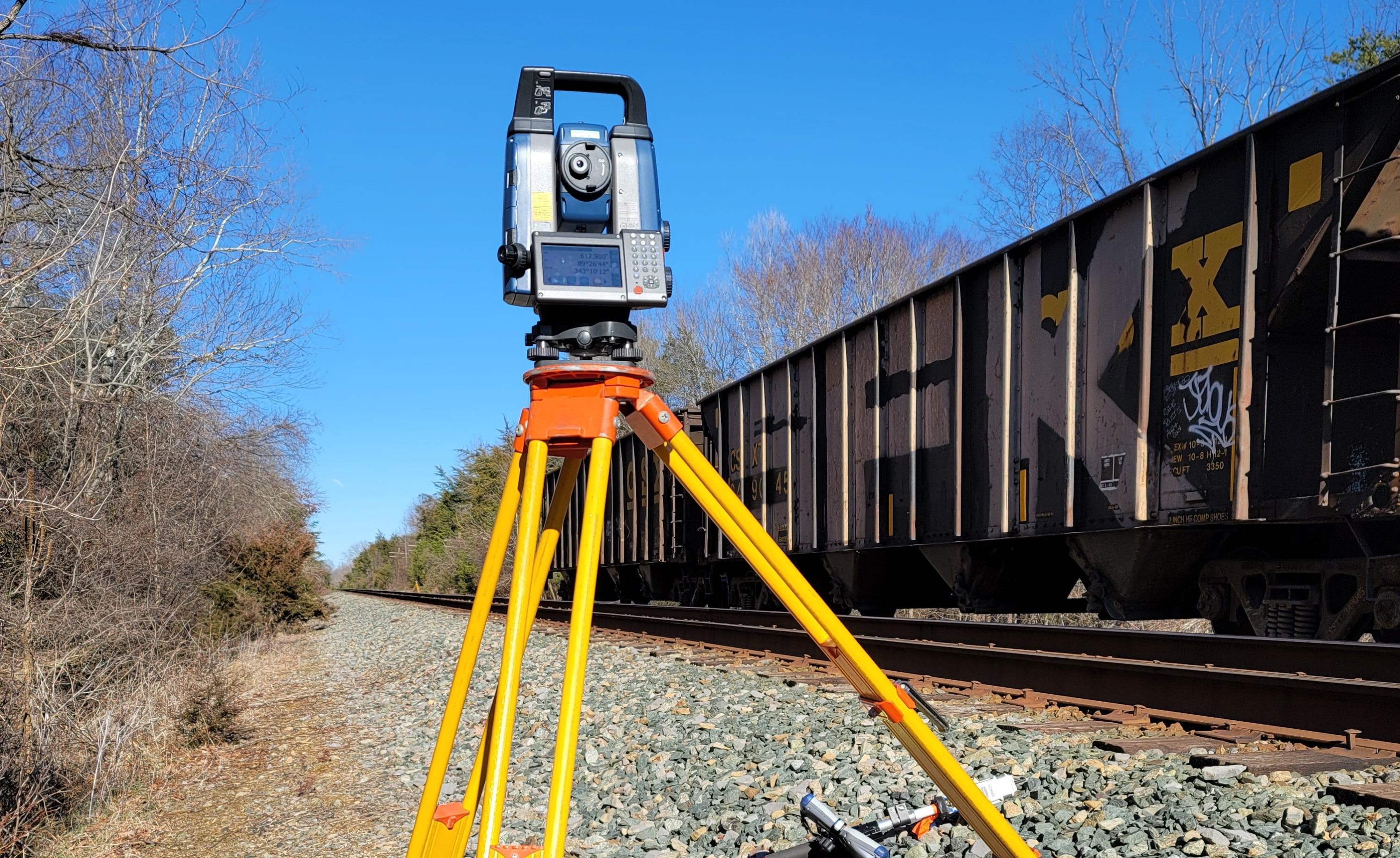
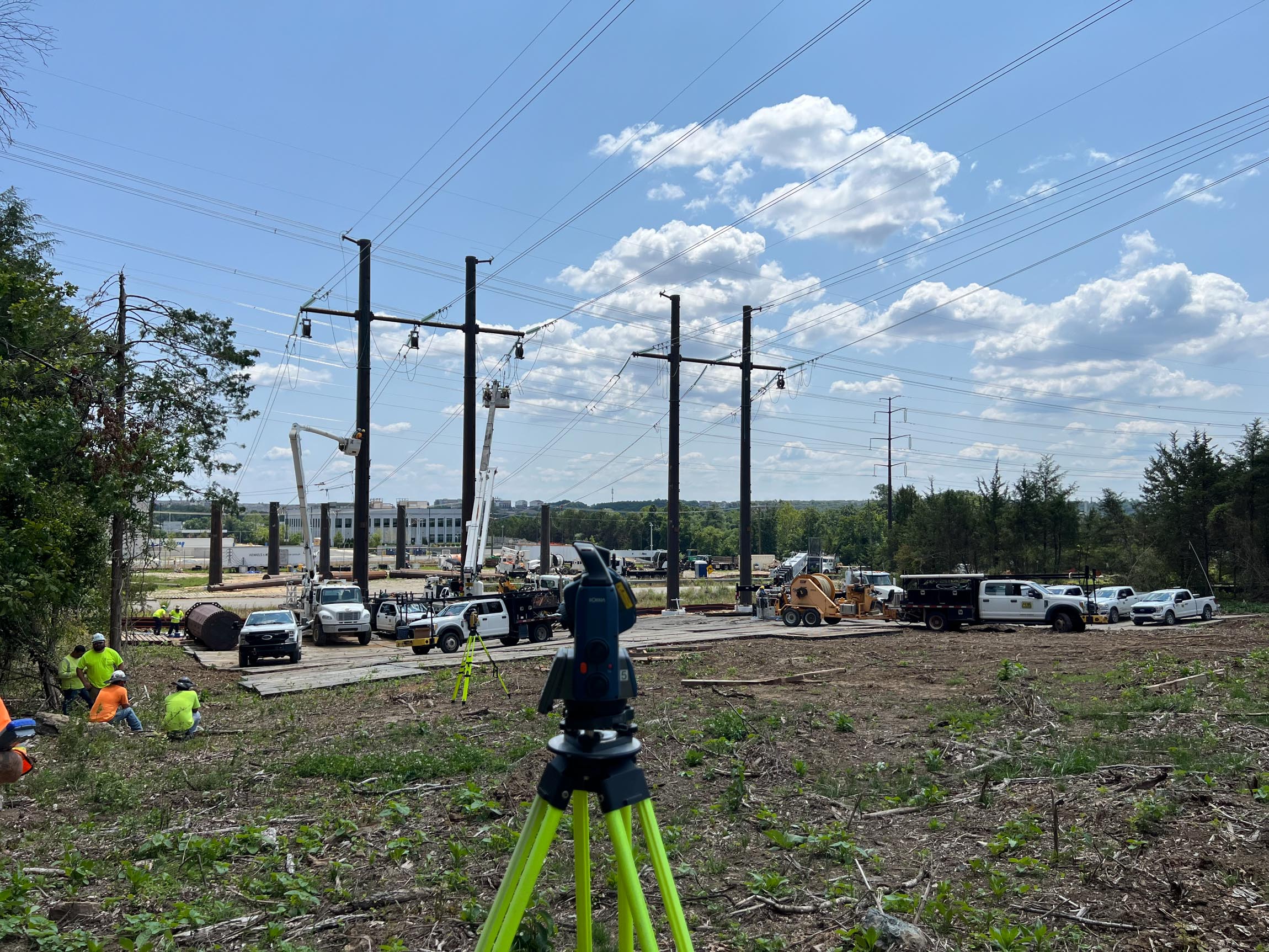
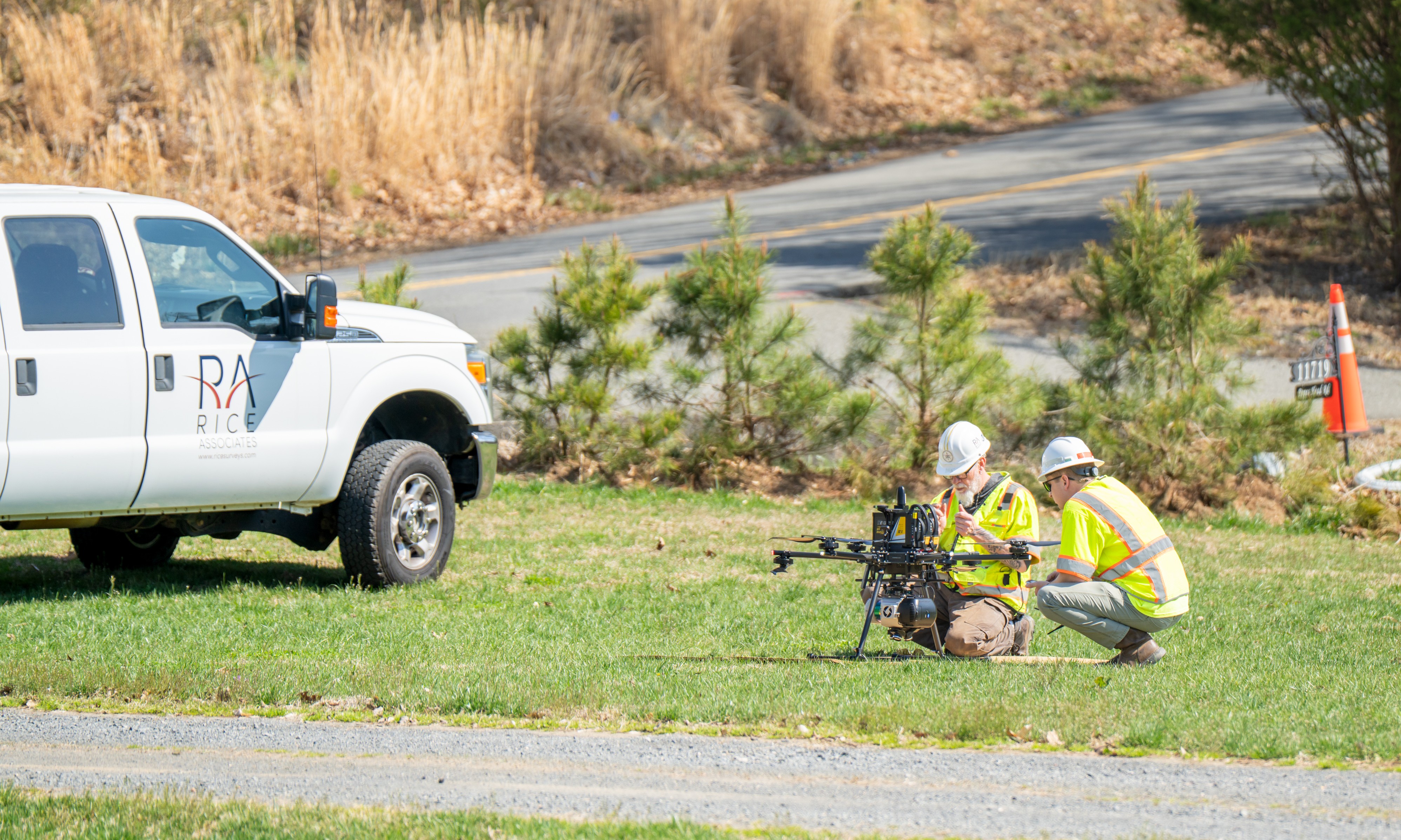
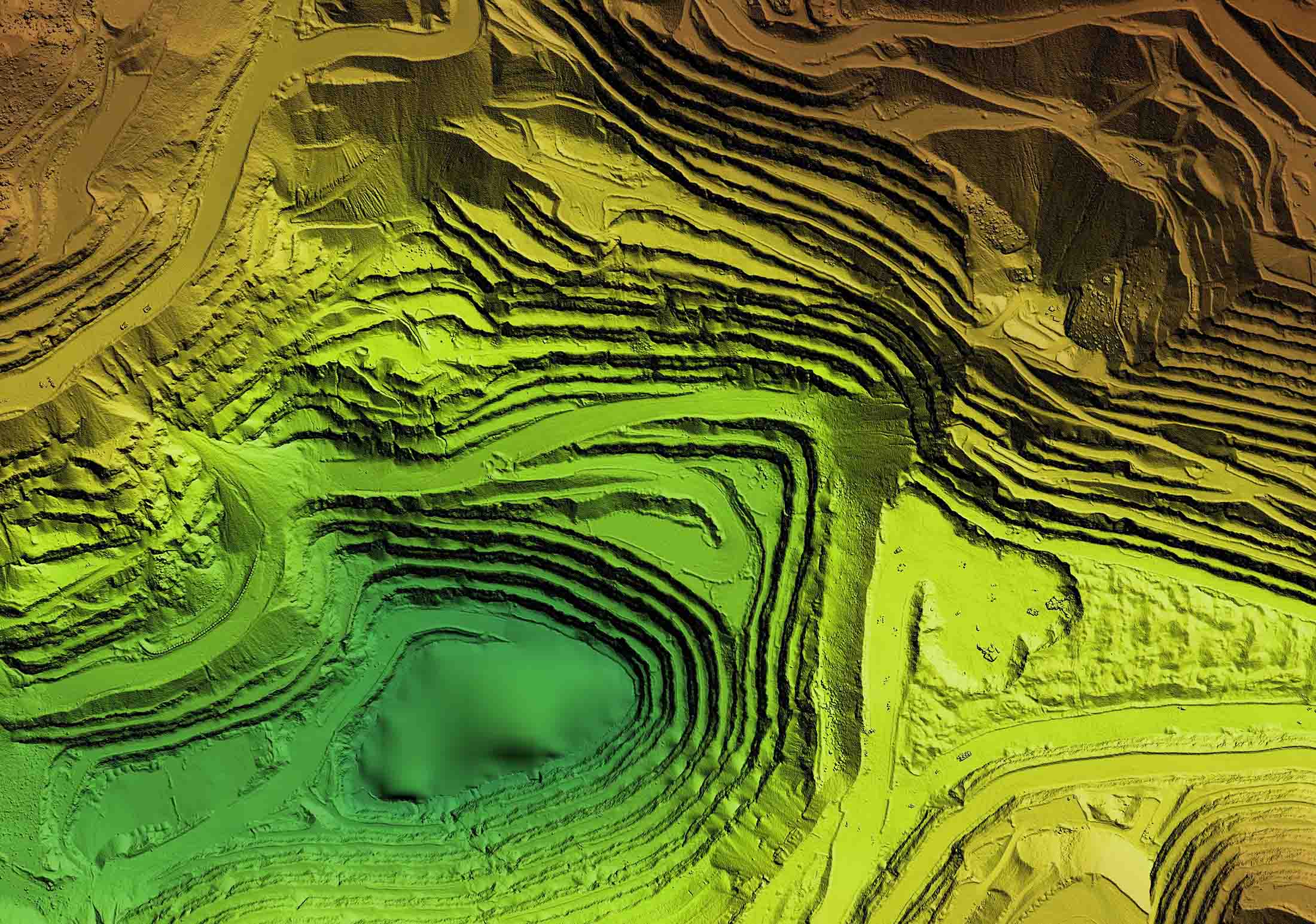
Rice provides professional land surveying services supported by licensed land surveyors and experienced technicians. Our surveying services establish the foundational control and accuracy required for infrastructure projects and support the integration of LiDAR, photogrammetry, UAS, and utility data into coordinated mapping deliverables.
All survey work is performed in accordance with applicable survey and CADD standards and reviewed under the direct supervision of a licensed land surveyor.
Surveying Services
Boundary Surveys and Plats
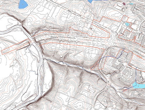
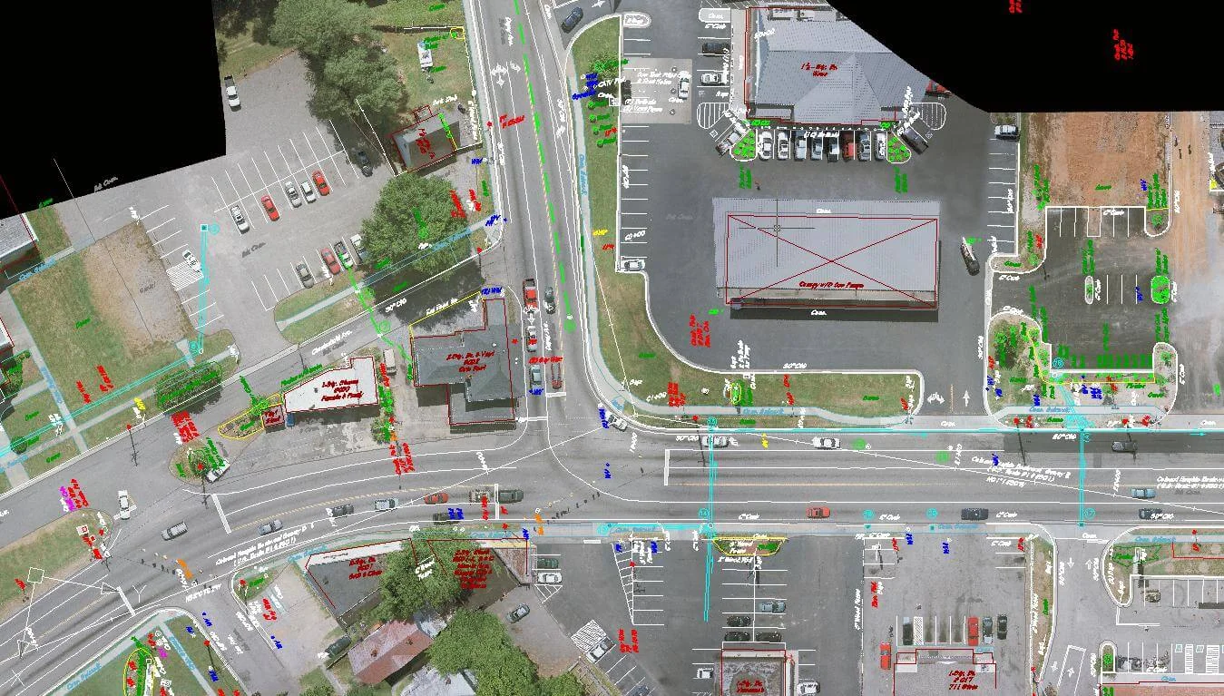
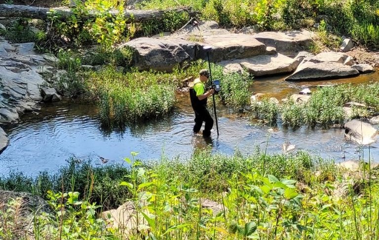
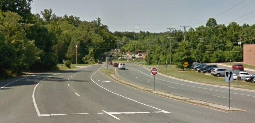
Topographic, Drainage, and Planimetric Surveys
Right-of-Way and Route Surveys

Survey Control and Ground Control

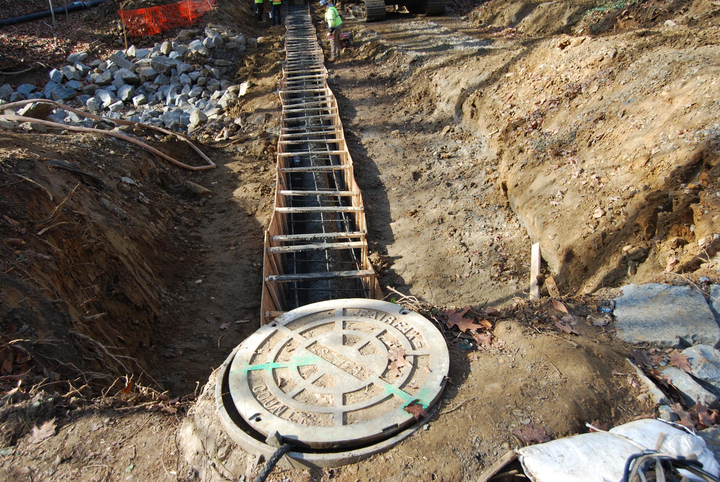
As-Built and Record Surveys

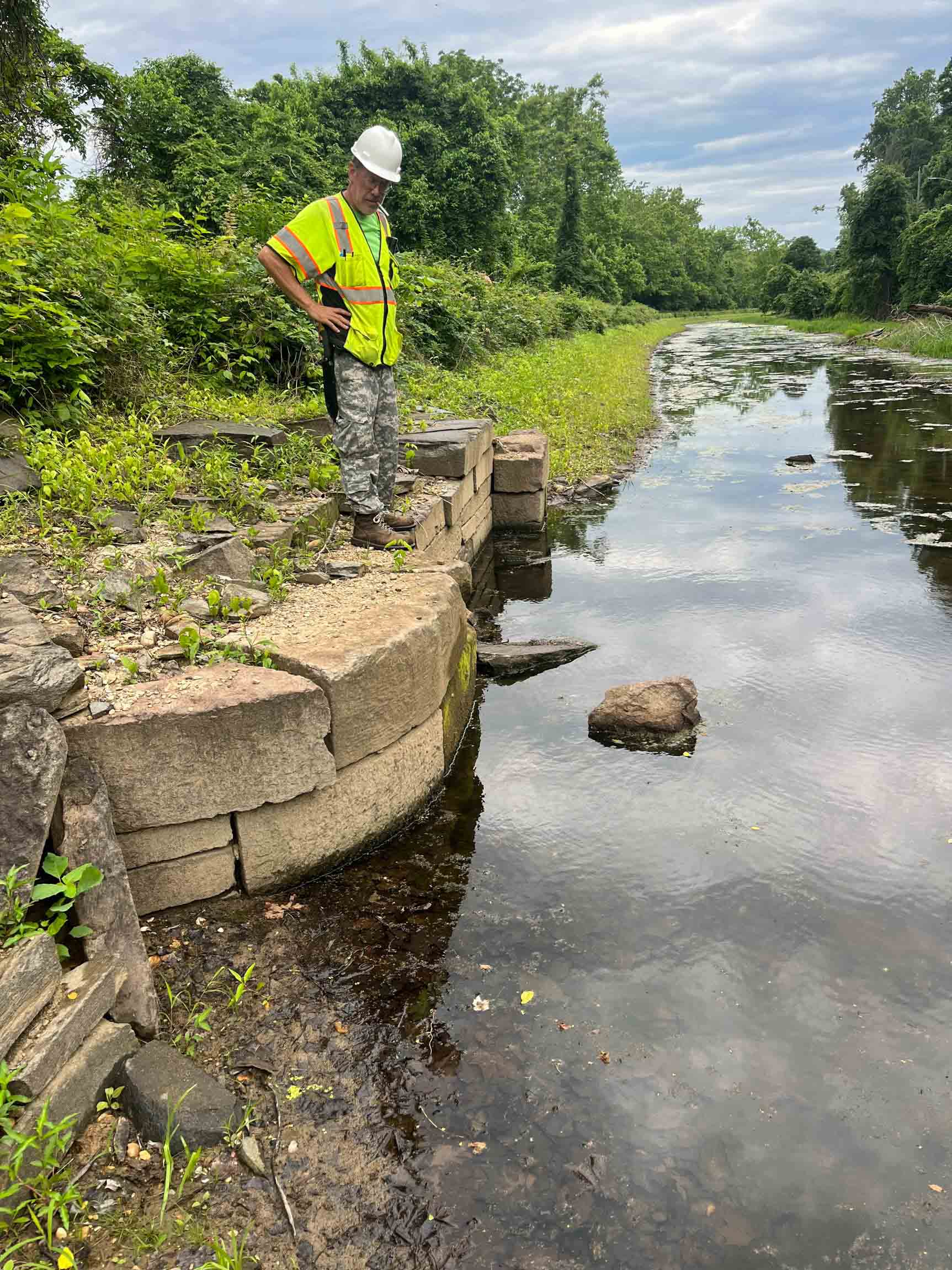
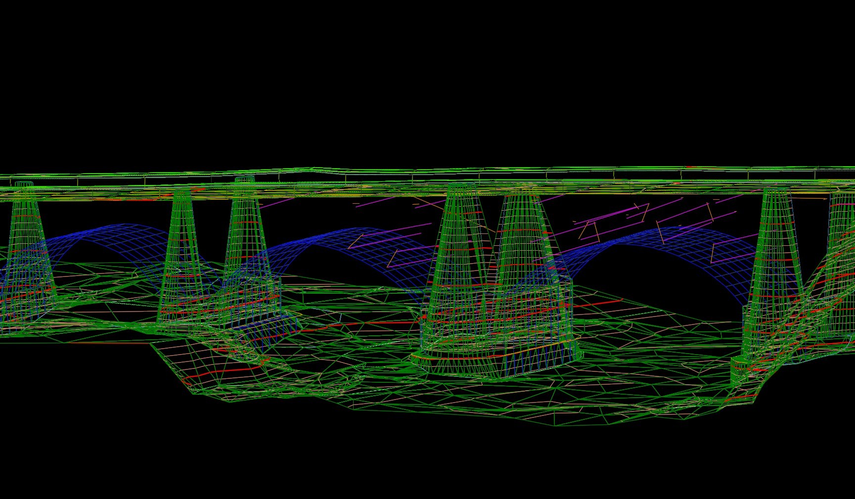
Bridge and Structure Surveys
Bathymetric Surveys
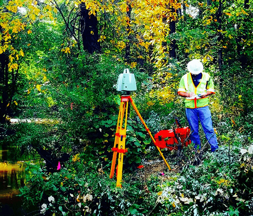
Wetland Location Surveys
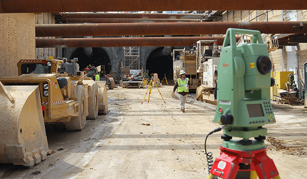
Construction Layout and Stakeout

Our Surveying Projects
Explore our diverse range of successful projects.

IAD North Runway 1C–19C Topographic Survey & Utility Mapping

-sm.jpg)
Statewide Surveying, Photogrammetry, and Subsurface Utility Designation and Location On-Call Contact
Don't just take our word for it!
(But we do think we're pretty great!)
"Rice Associates’ versatility, flexibility, and responsiveness have made them a great asset to the team."
Senior Transportation Project Manager | WSP