Explore Our SERVICES
Our diverse technical toolbox allows us to tailor solutions to the unique needs of each project.

Our Complete Services
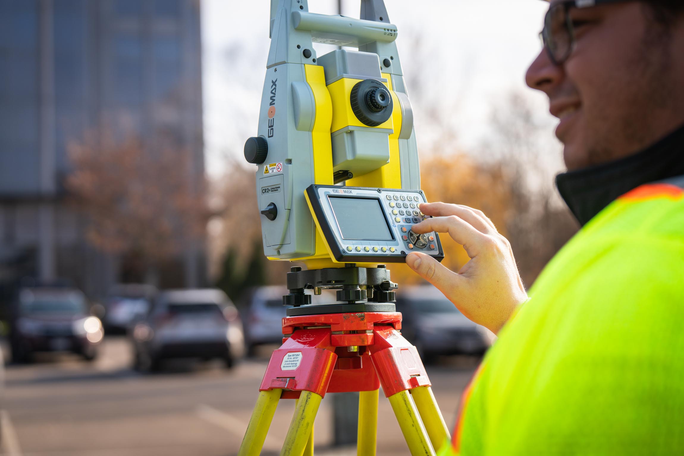
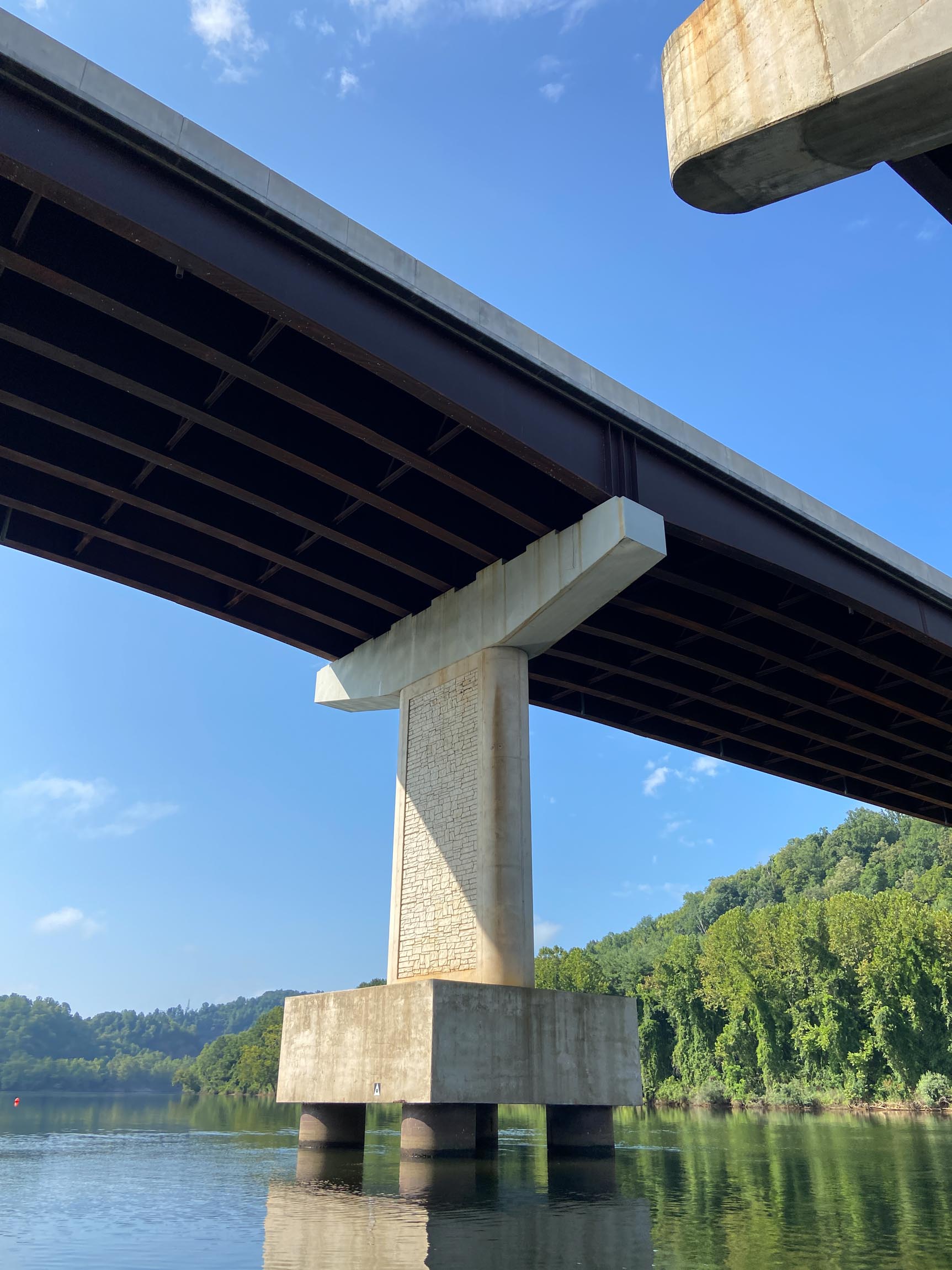
Conventional Surveying
Comprehensive surveying services supporting transportation and public infrastructure projects.
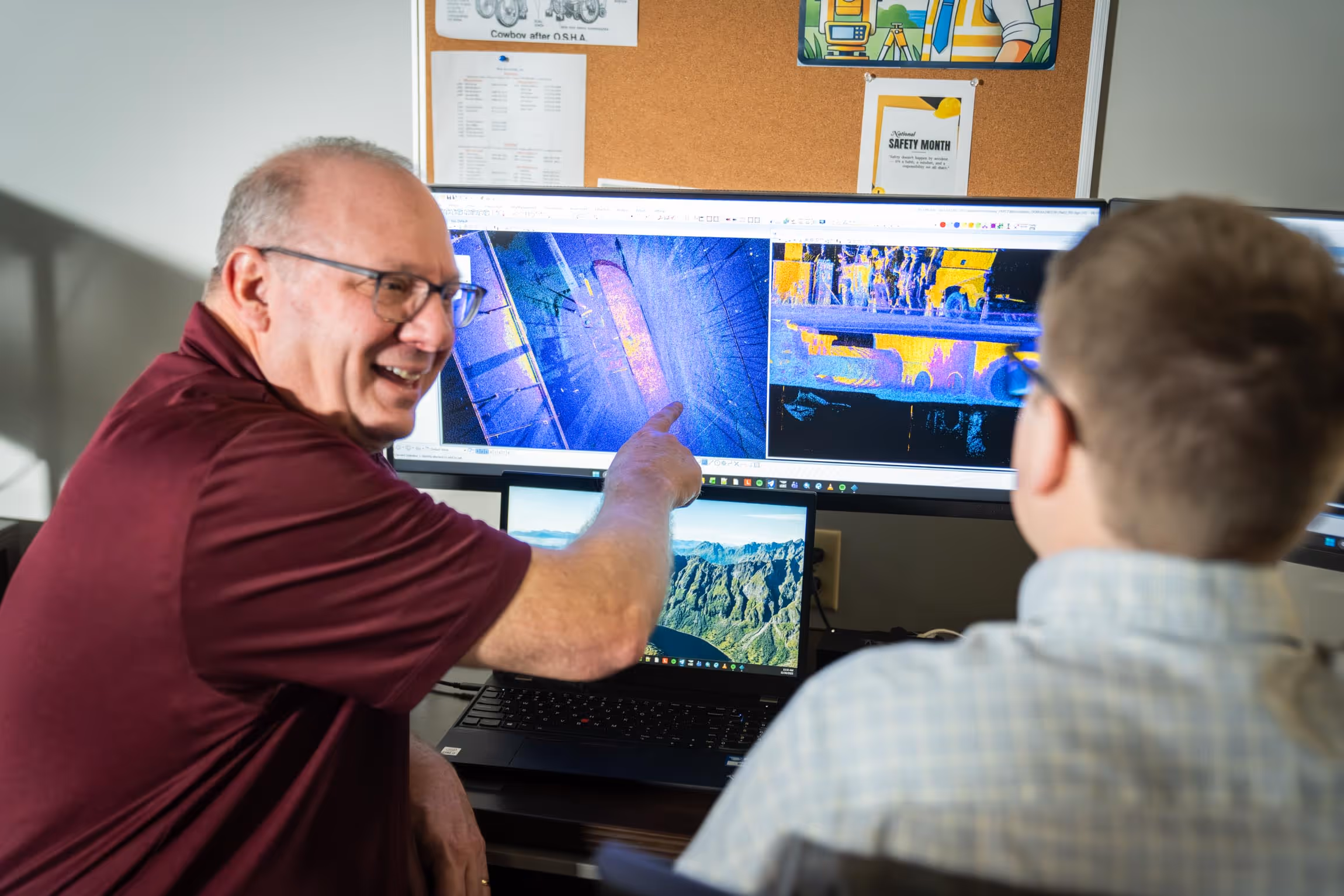
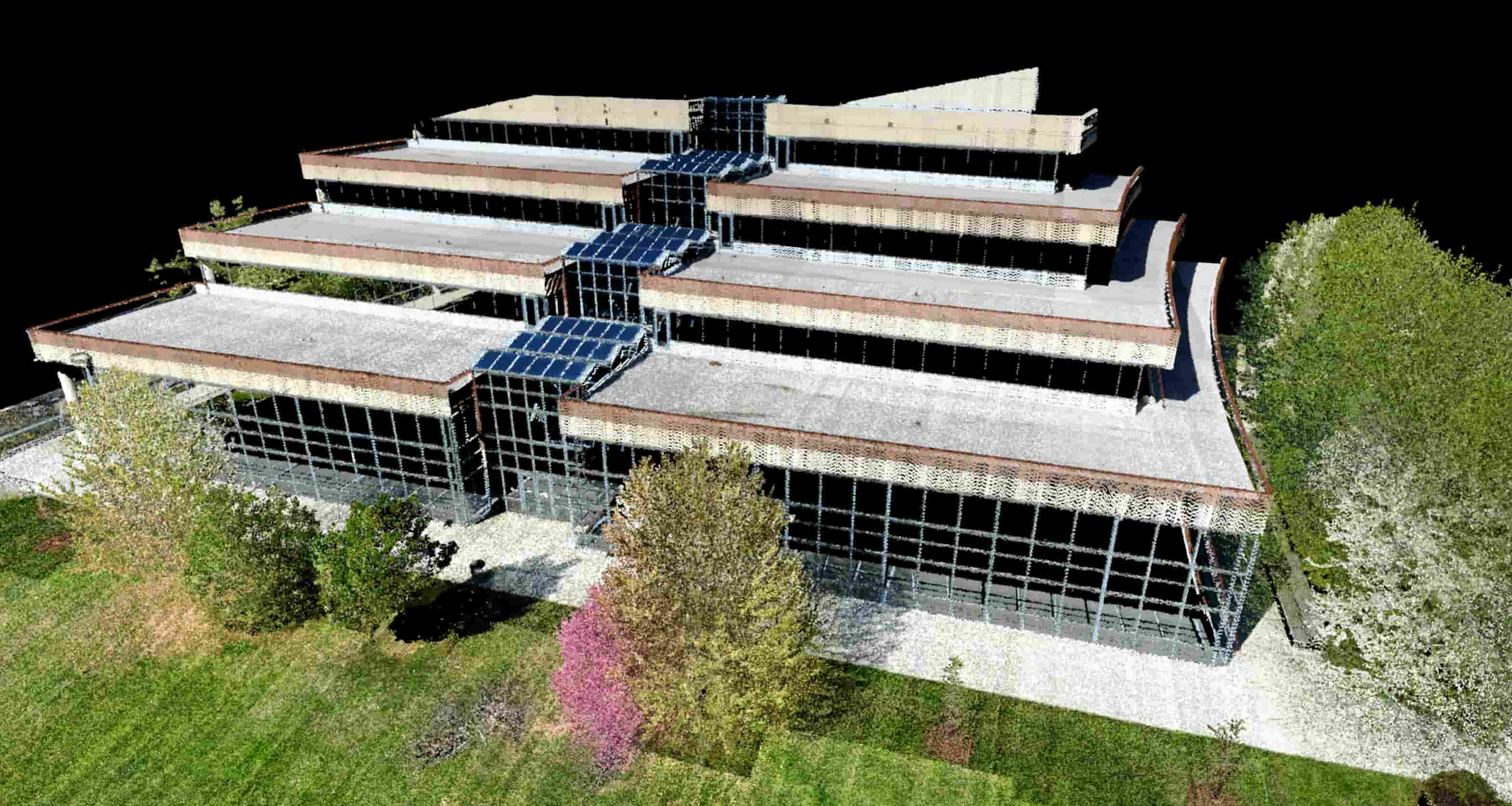
LiDAR
LiDAR services delivered through aerial, mobile, terrestrial, and high‑definition scanning approaches.
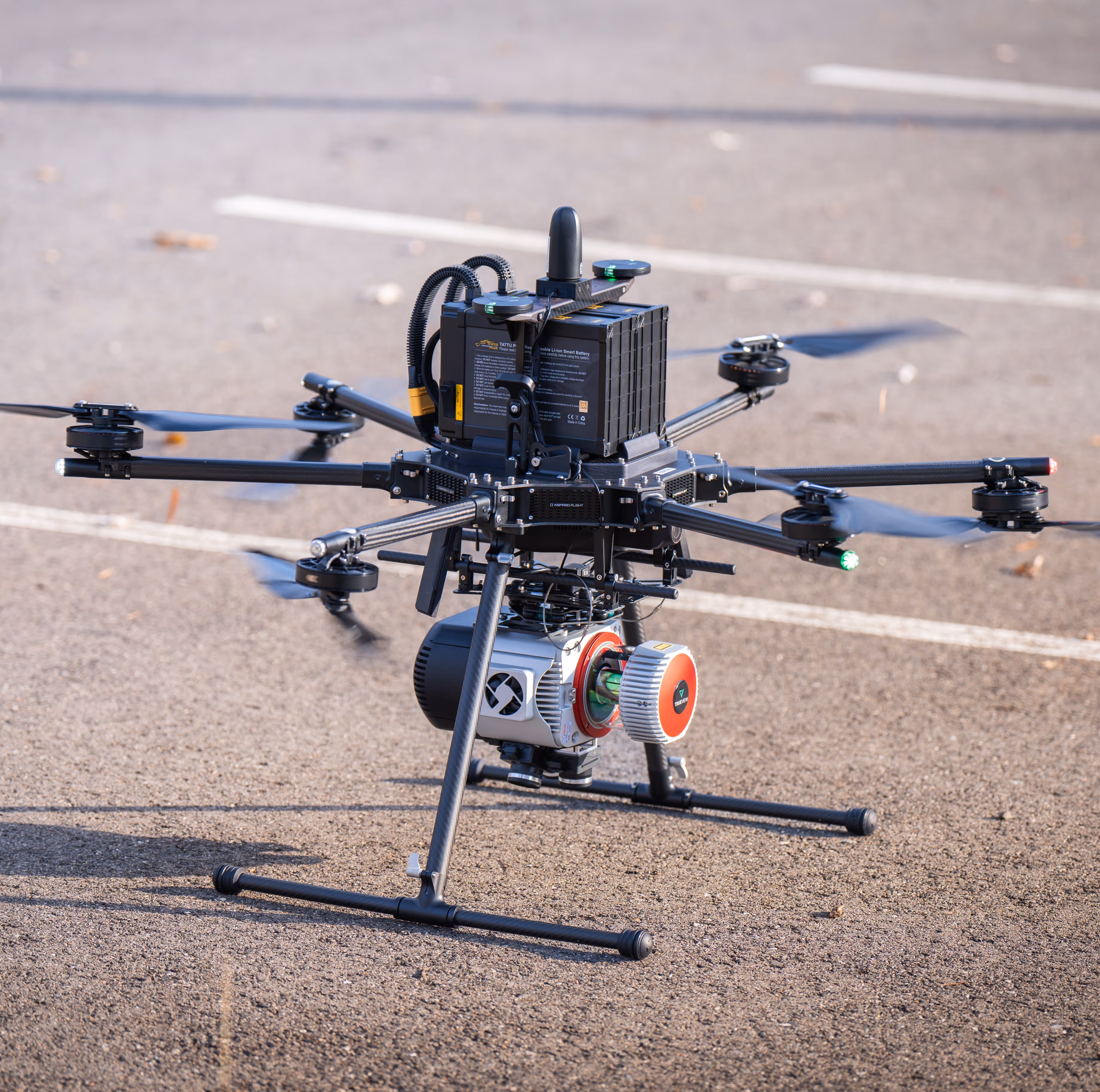
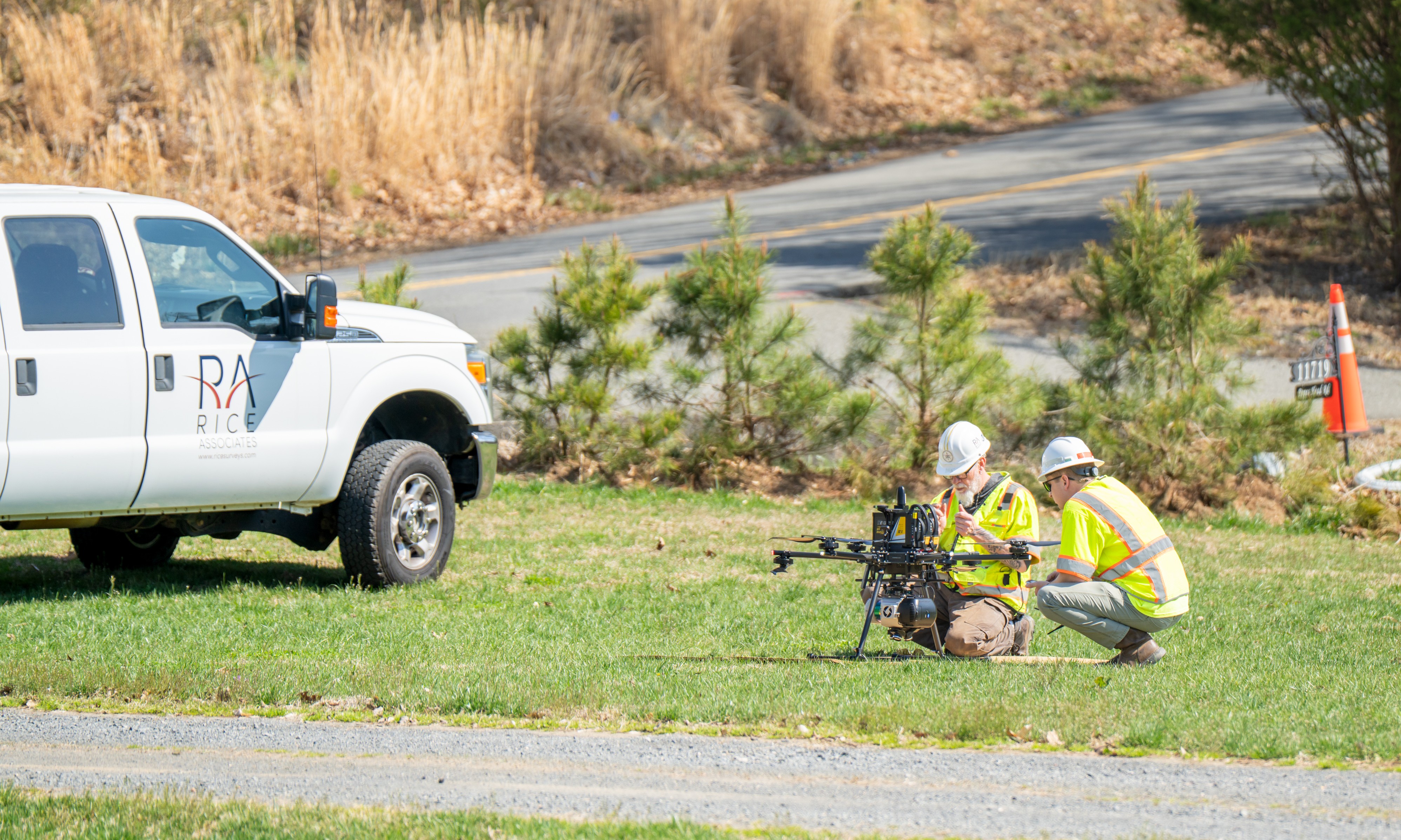
Unmanned Aerial Systems (UAS)
Flexible, low‑altitude data collection supporting surveying, mapping, and infrastructure projects.

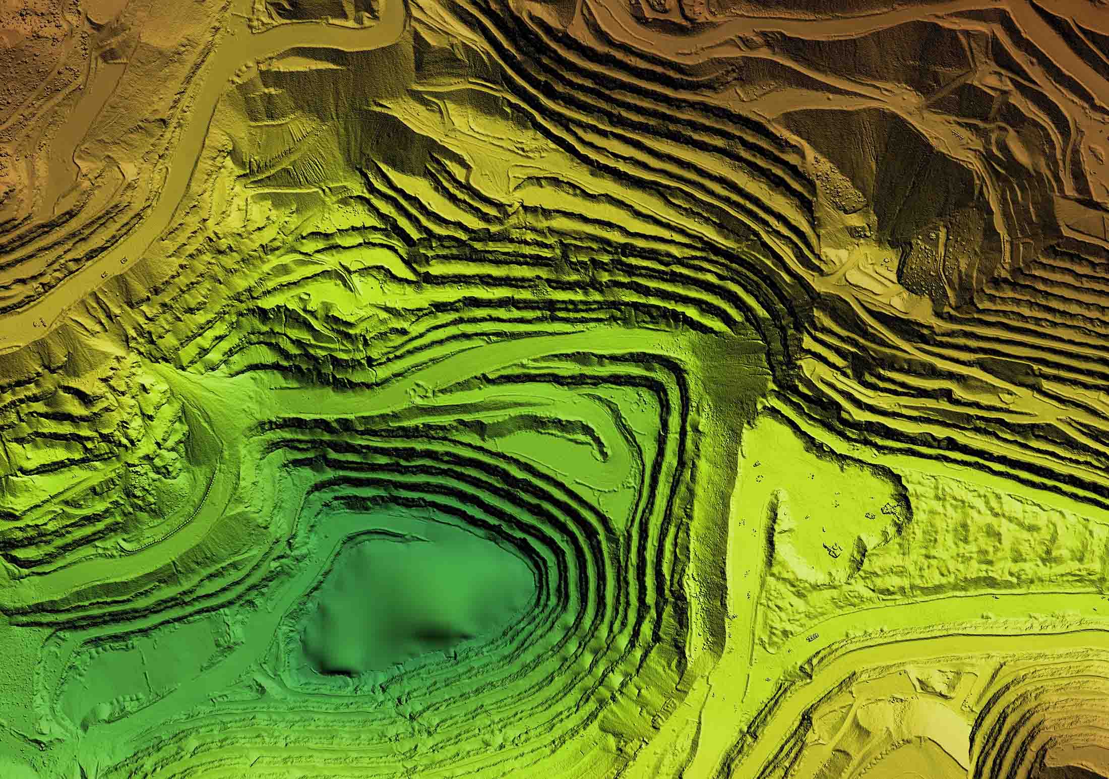
Photogrammetry
Imagery‑based mapping and modeling services supporting accurate terrain and planimetric data.
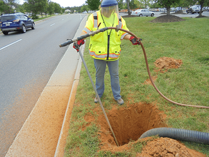
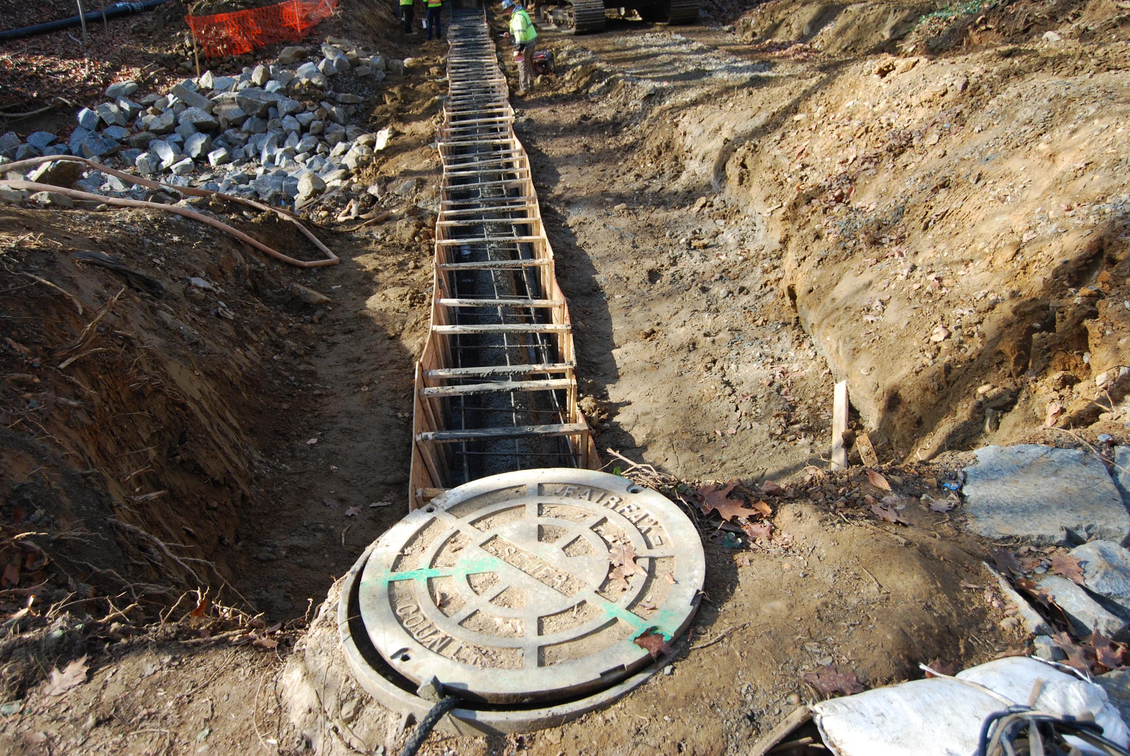
Subsurface Utility Engineering (SUE)
Utility identification and mapping performed in accordance with ASCE/UESI/CI 38‑22.
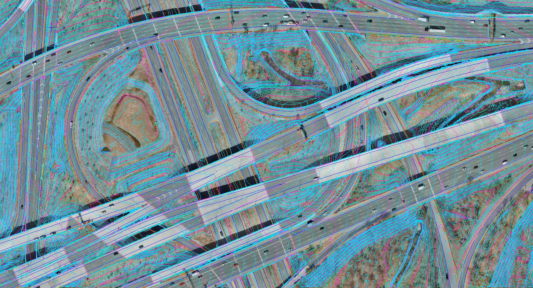
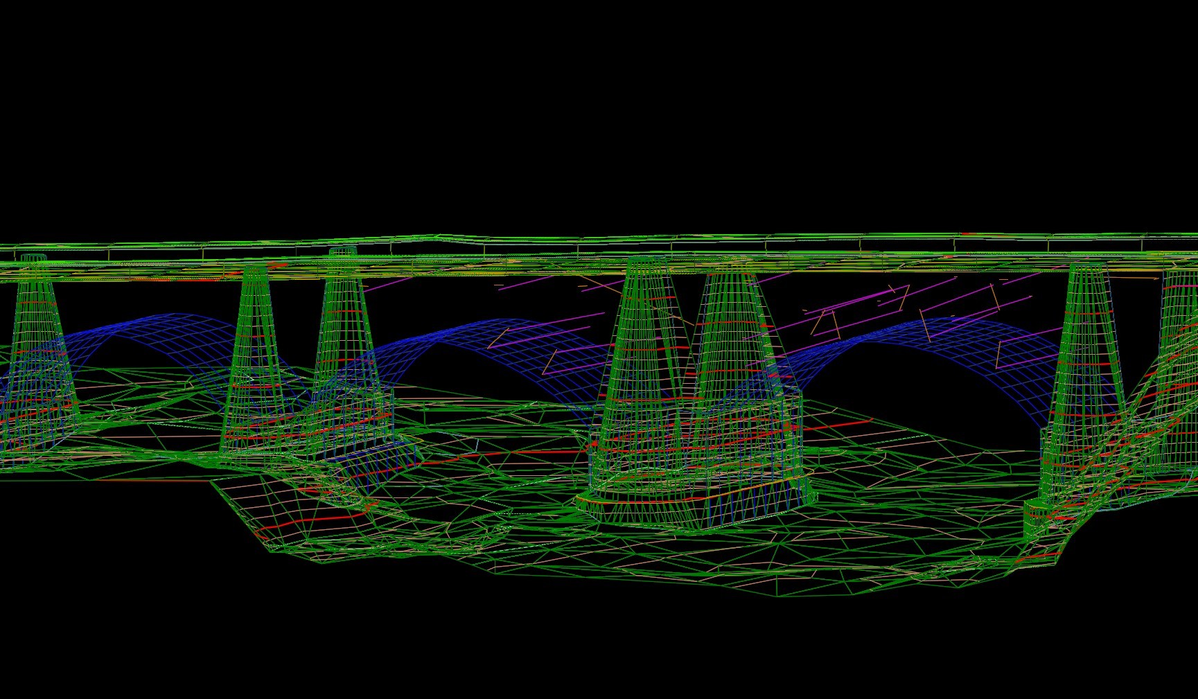
Data Fusion
Data fusion brings together survey, LiDAR, photogrammetry, UAS, and utility data into a single, coordinated mapping product—providing a complete and reliable view of existing conditions.
Our Project Highlights
By integrating multiple data sources whether all collected by Rice or some provided by others, we deliver coordinated mapping products that support informed design and decision making.
-sm.jpg)