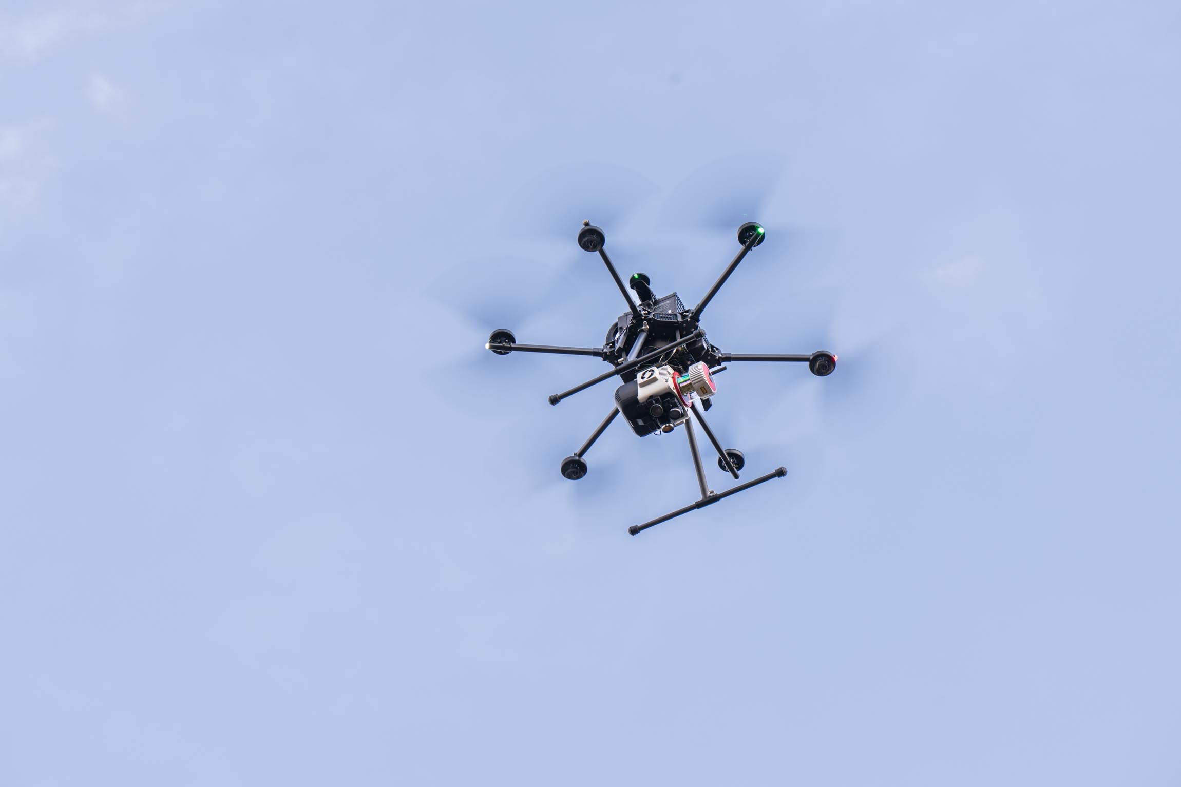
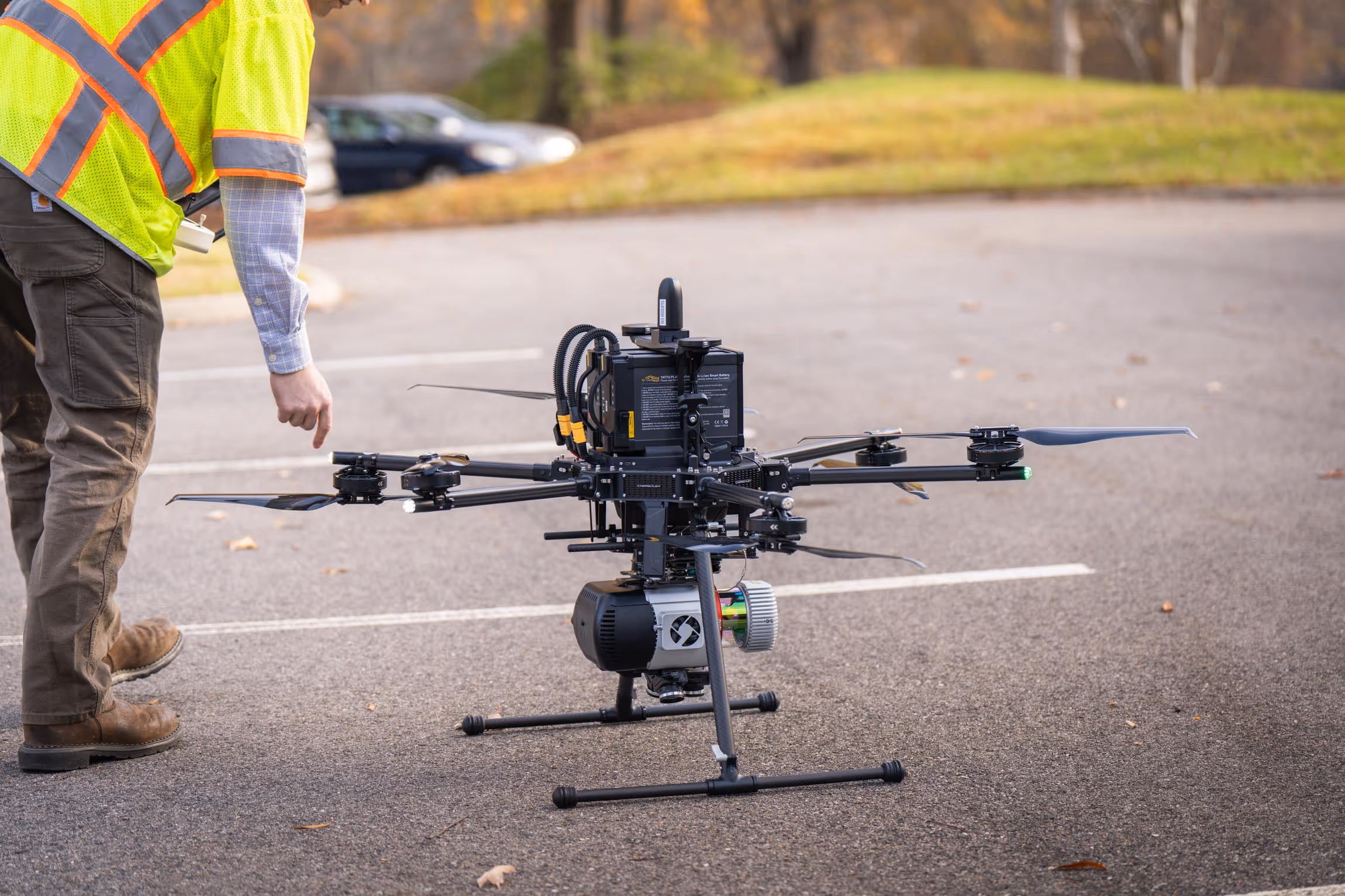
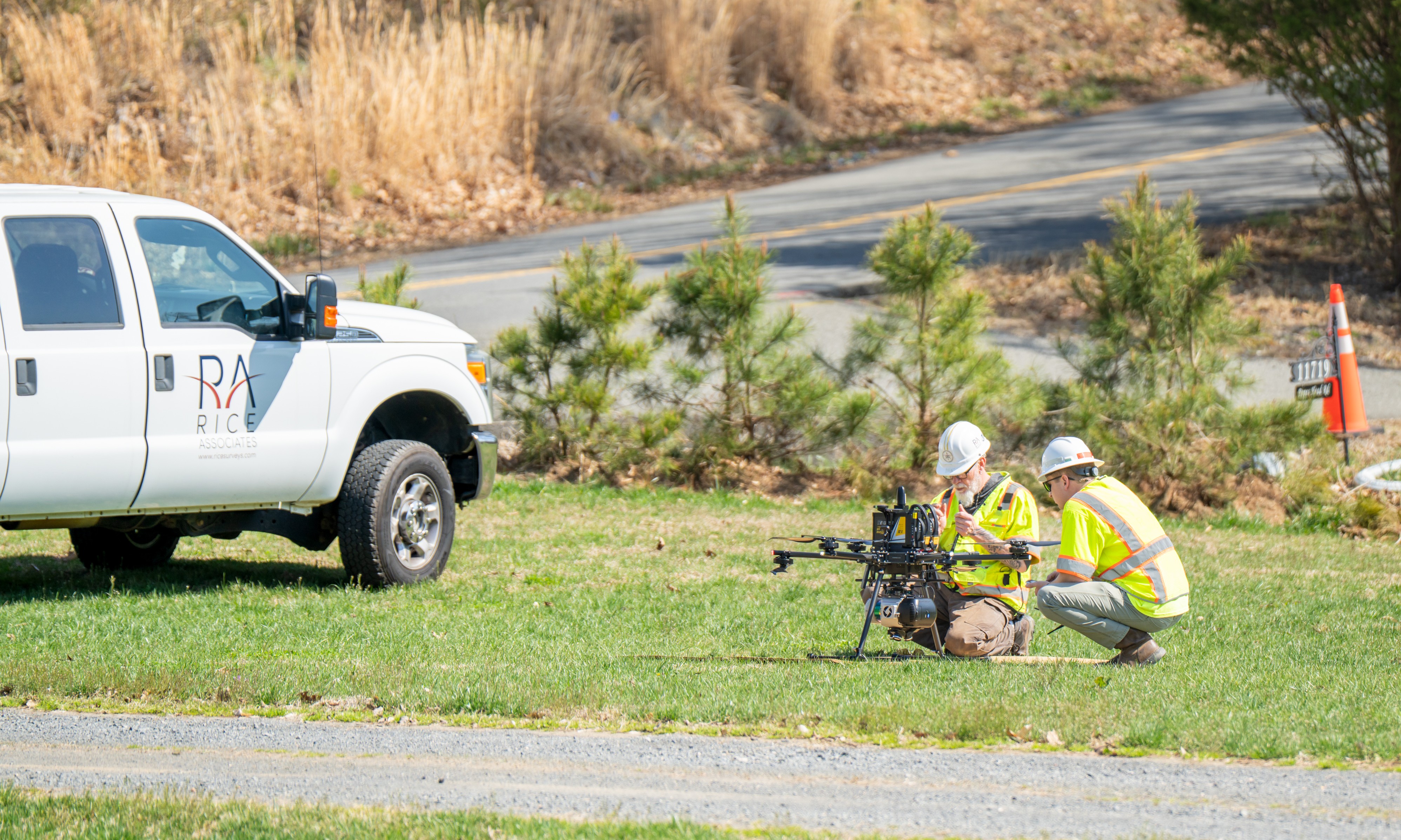
Unmanned Aerial Systems (UAS)
Aerial Data Collection and Mapping
Rice Associates utilizes Unmanned Aerial Systems (UAS) to support surveying, mapping, and infrastructure projects through efficient aerial data collection. UAS capabilities provide flexible access to areas that are difficult to reach by conventional methods while maintaining accuracy and safety.
UAS data is integrated with conventional survey, LiDAR, and photogrammetry workflows to support coordinated mapping deliverables.
UAS Capabilities
Aerial Imagery Collection
Aerial LiDAR data collection
Survey-grade data acquisition integrated with ground control
Low‑altitude mapping in constrained or inaccessible areas
Corridor, site, and linear infrastructure mapping
Rapid data collection to support schedule efficiency
Integration with conventional survey and LiDAR workflows
FAA Part 107 compliant flight operations
NDAA regulations compliant

Our Aerial Projects
Explore our diverse range of successful projects.

Don't just take our word for it!
(But we do think we're pretty great!)
"Rice Associates’ versatility, flexibility, and responsiveness have made them a great asset to the team."
Senior Transportation Project Manager | WSP