Goose Creek Stone Bridge High-Definition Scan
Loudoun County, VA
Project Details
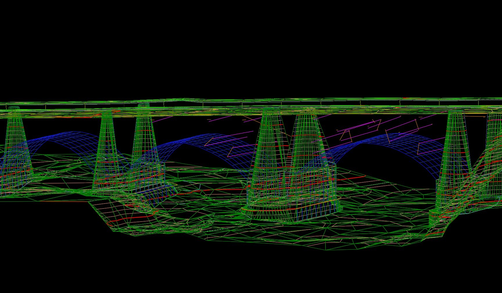
County officials needed a clear assessment of a historic, 4-arch stone bridge originally built in 1802 believed to be the oldest and longest of its kind in Virginia. RA was contracted to provide a location and designation survey, which included a bridge situation survey featuring a high-definition scan and digital recreation of the bridge.
RA staff set survey limits and control, notified property owners within property limits after researching county GIS records, set property lines, and conducted a location survey with digital terrain modeling (DTM). RA staff relied on static LiDAR and conventional survey techniques to gather the necessary data to produce the report and digital recreation.
Client
WSP for Loudoun County
Location
Loudoun County, VA