DC Water Clean Rivers Project, Various Sites Survey
Washington, D.C.
Project Details
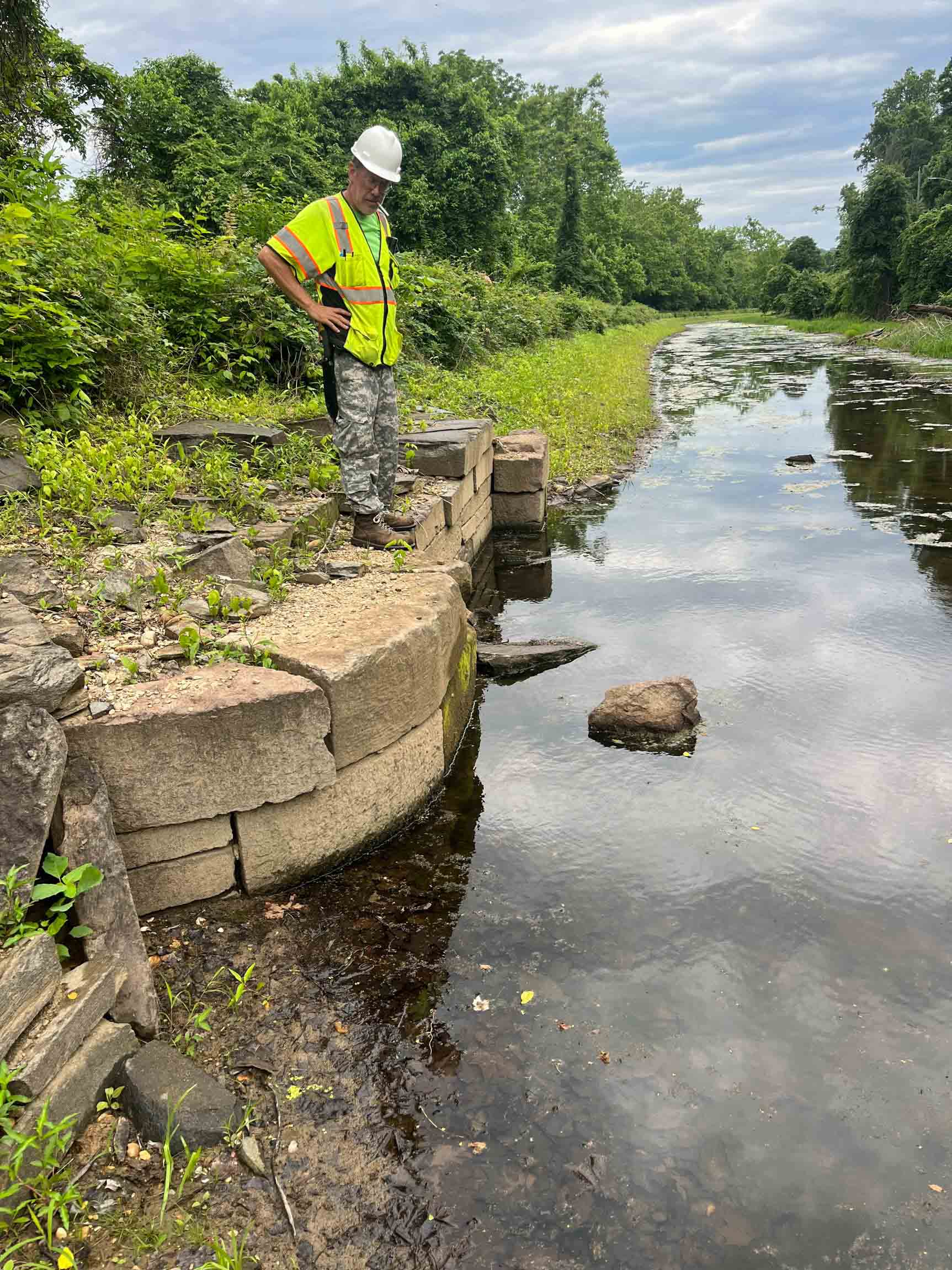
As part of DC Water’s Clean Rivers Project, this project implemented controls for combined sewer overflow (CSO) outfalls along the Potomac River. The project involved constructing a deep storage/conveyance tunnel and supporting infrastructure including drop shafts and diversion facilities for redirecting CSO’s to a tunnel system to significantly reduce combined sewer overflows into local rivers.
RA staff provided survey support for this project, initiated with field activity by recovery and verification of existing project control via GPS observations. The topographic/gravity utility as-built surveys followed and were performed using a combination of both conventional procedures and mobile LiDAR for the roadway areas. In addition to maintaining proper road signage, a traffic control vendor was utilized when personnel needed to be in the roadway for extended periods of time to obtain invert elevations of utility structures or to designate or mark with paint the approximate location of non-gravity utilities.