Photogrammetry
Photogrammetric Mapping and Modeling
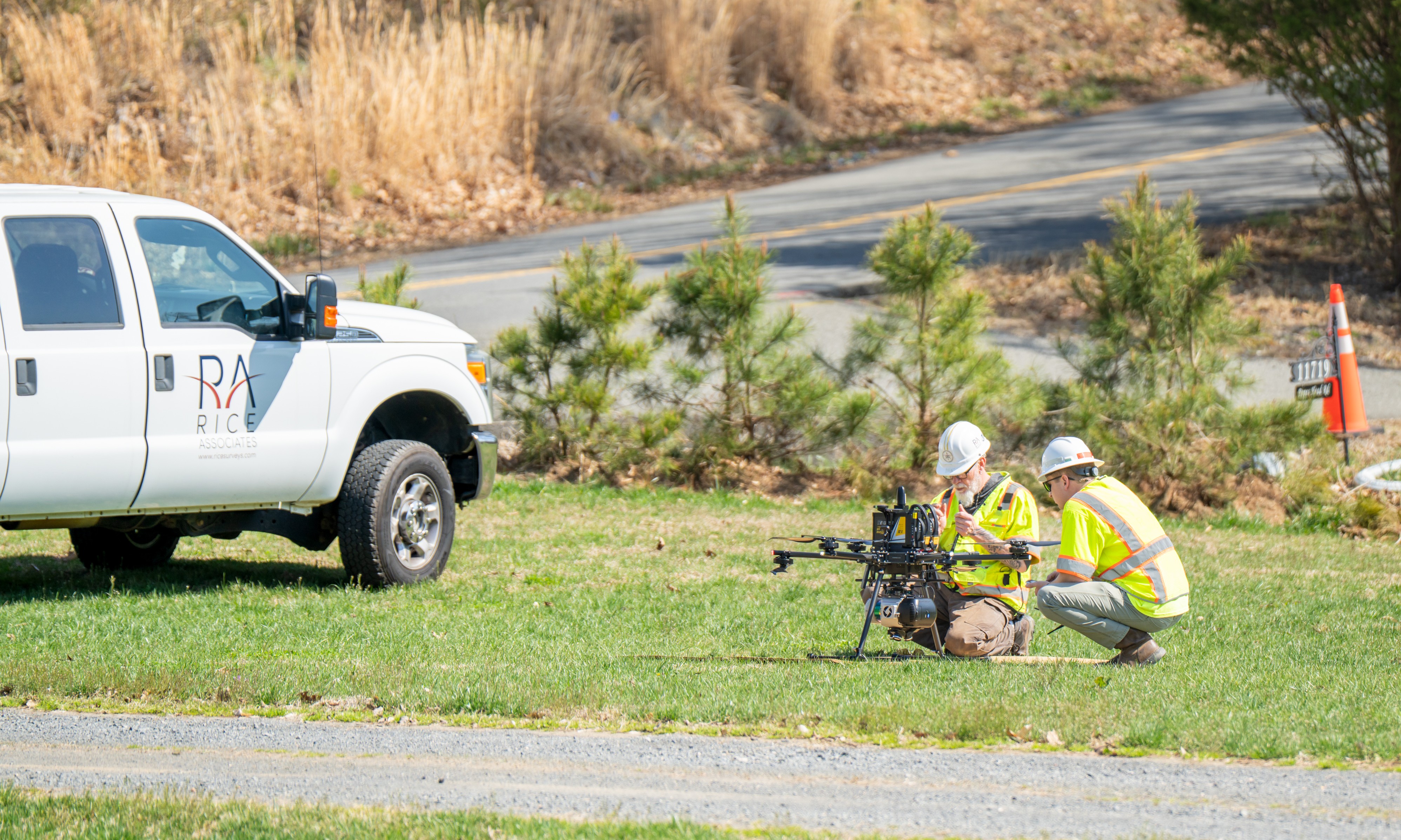
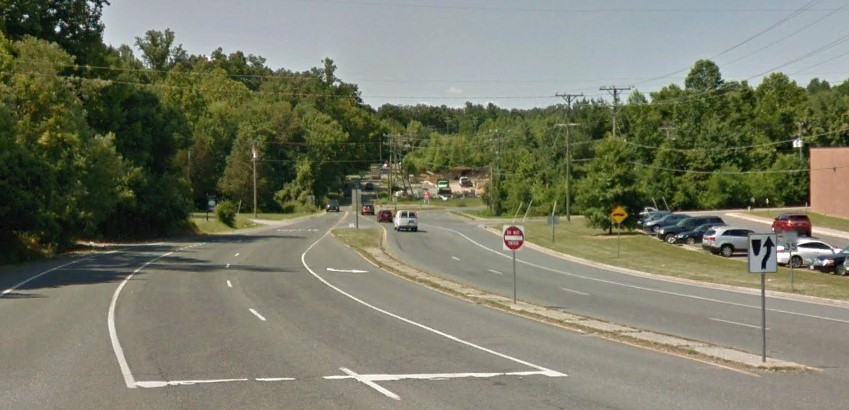
Rice provides comprehensive aerial and photogrammetric services, including flight and control planning and coordination within restricted airspace when required. Imagery is collected from multiple platforms, including fixed‑wing aircraft, helicopters, and Unmanned Aerial Systems (UAS).
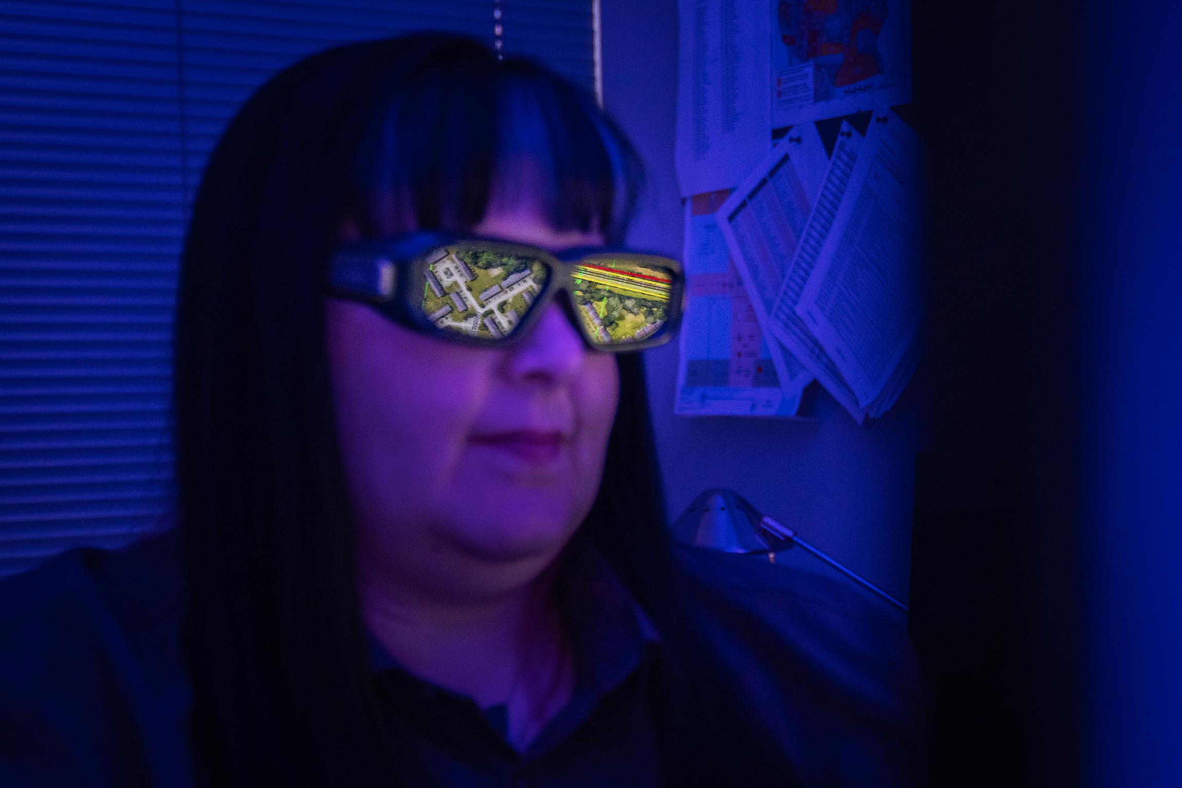
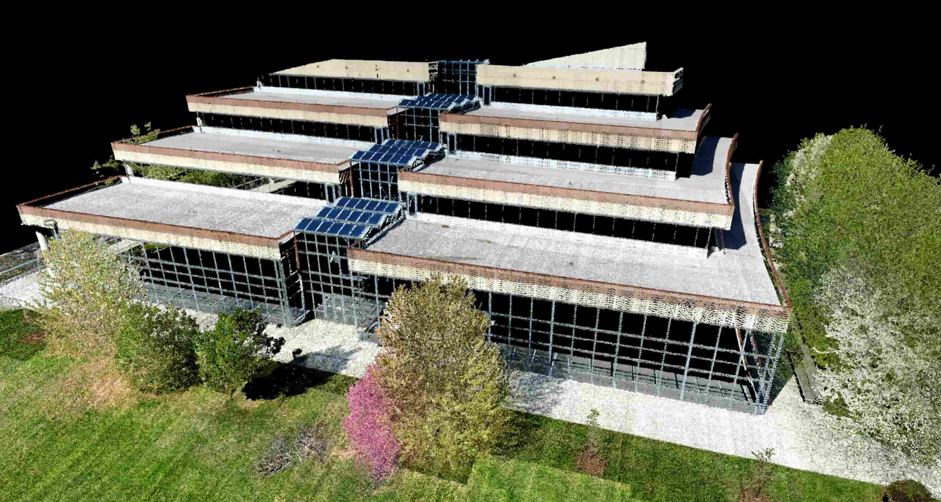
Our in‑house photogrammetry team delivers accurate mapping and modeling products under the direct supervision of a licensed Surveyor Photogrammetrist and ASPRS Certified Photogrammetrist.
Photogrammetry Services
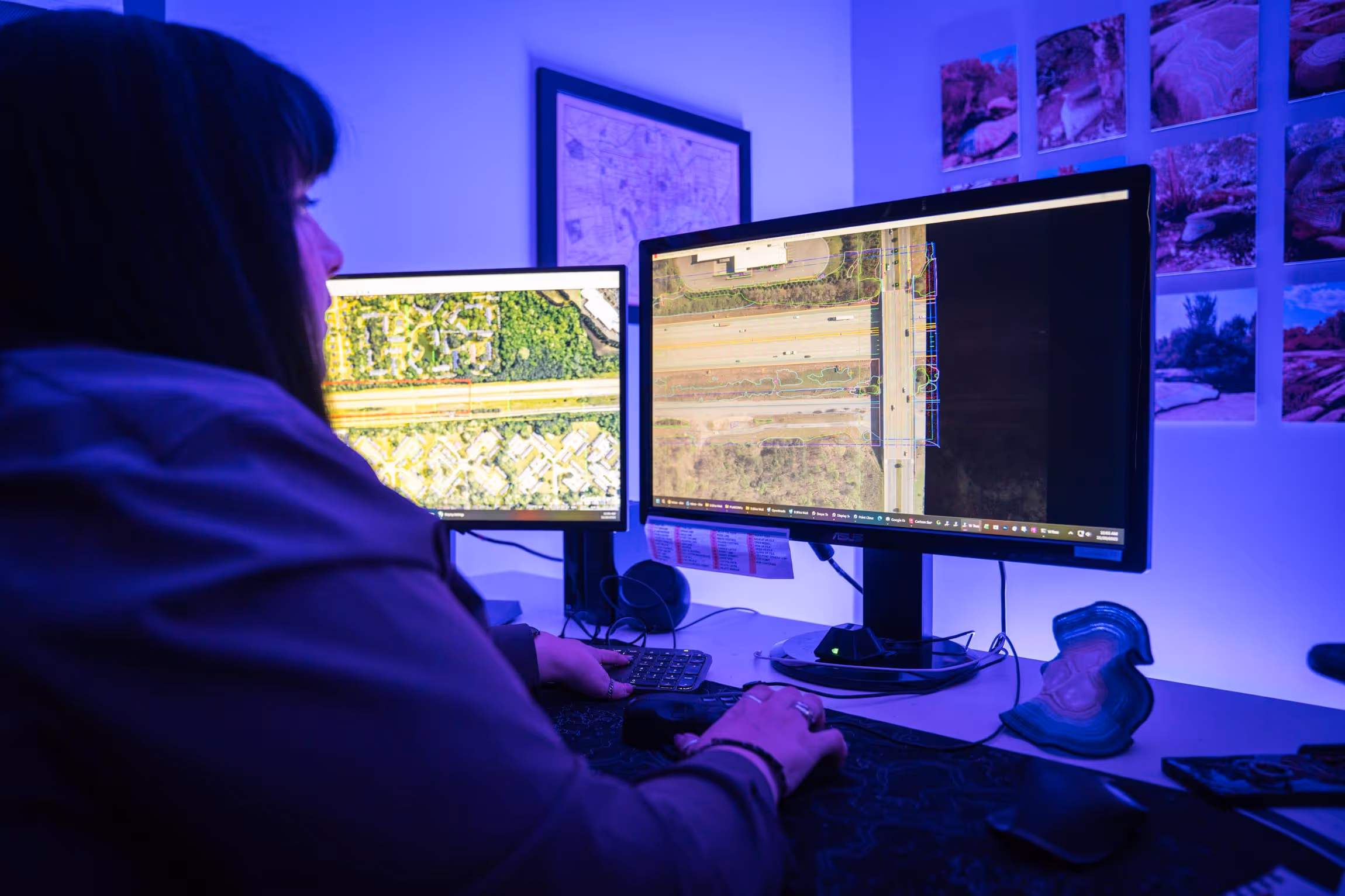
Photogrammetric Mapping
Planimetric Mapping
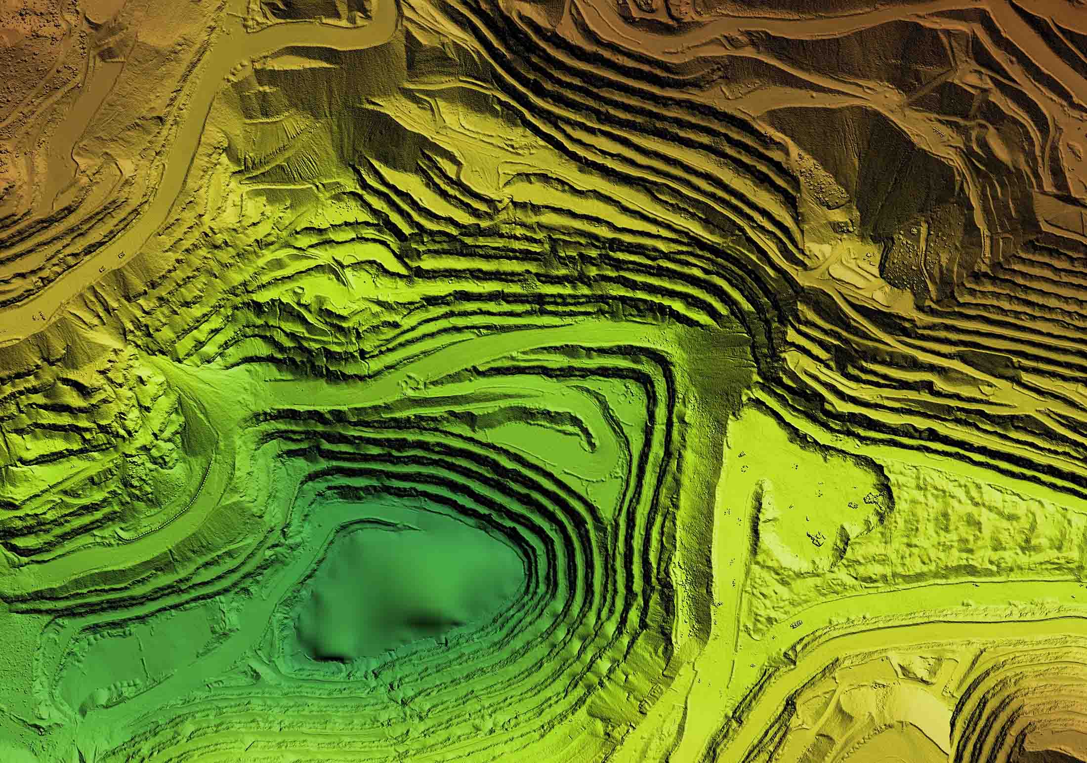
Digital Terrain Models (DTM)
Triangulated Irregular Networks (TIN)
Contours
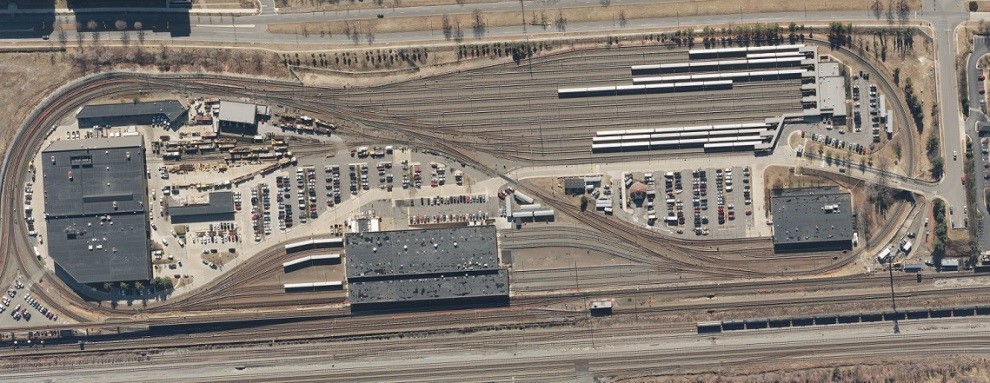
Digital Orthophotography
Color Infrared (CIR) Imagery
GIS Data Collection
Aerial LiDAR Collection and Processing
Highly Accurate Low-level Mapping

Our Photogrammetry Projects
Explore our diverse range of successful projects.
-sm.jpg)
Don't just take our word for it!
(But we do think we're pretty great!)
"Rice Associates’ versatility, flexibility, and responsiveness have made them a great asset to the team."
Senior Transportation Project Manager | WSP