Route 648, Shelton Shop Road Improvements
Stafford County, VA
Project Details
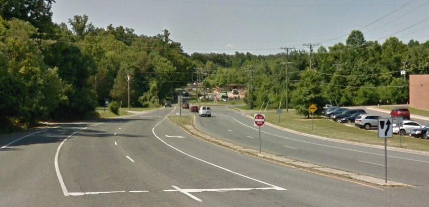
This improvement project widened and re‐aligned approximately 1.99 miles of Route 648 to bring horizontal and vertical curves into compliance with then current VDOT GS‐7 geometric standards and provided 11‐foot travel lanes with 6‐foot shoulders. The intersections with Winding Creek Road (Route 628), Courthouse Road (Route 630), and Mountain View Road (Route 627) were also converted to roundabouts to improve safety and traffic flow. Bicycles and pedestrians were accommodated through the construction of a shared‐use path.
RA staff performed a full location survey of this project that encompassed 3.2 miles of roadway, including a total of 6 control monuments were set, augmented by over 2 miles of survey baseline. Additionally, 29 aerial control targets were set and surveyed to control the photogrammetric mapping. To enhance the pavement elevation accuracy, the survey was supplemented with mobile LiDAR. Additionally, 65 mobile targets were set and project data collected with a mobile LiDAR mapping system. The pavement data was compiled and merged seamlessly into the overall project digital terrain model.