Subsurface Utility Engineering (SUE)
Utility Identification and Mapping
Rice’s subsurface utility engineering (SUE) program was developed to integrate reliable utility identification with established survey expertise. Following legacy ASCE 38-02 and now updated ASCE 38-22, "Standard Guideline for Investigation and Documenting Existing Utilities." Our in‑house staff of highly trained surveyors and technicians ensures consistent quality, efficient coordination, and adherence to project schedules. Our cross-trained Utility Designators and Survey Technicians can designate and survey their own paint, boosting efficiency and scheduling.
Standard of Care
Subsurface Utility Engineering (SUE) services are performed in accordance with ASCE/UESI/CI 38‑22, the current edition of the ASCE standard that supersedes ASCE 38‑02.
Quality Level D
Information derived from existing utility records, reports, and verbal recollections. Quality Level D provides a general understanding of known utilities and is typically used for early planning or feasibility studies.
Quality Level C
Information obtained by surveying visible above‑ground utility features and correlating those features with existing utility records. Quality Level C improves utility depiction for preliminary design purposes.
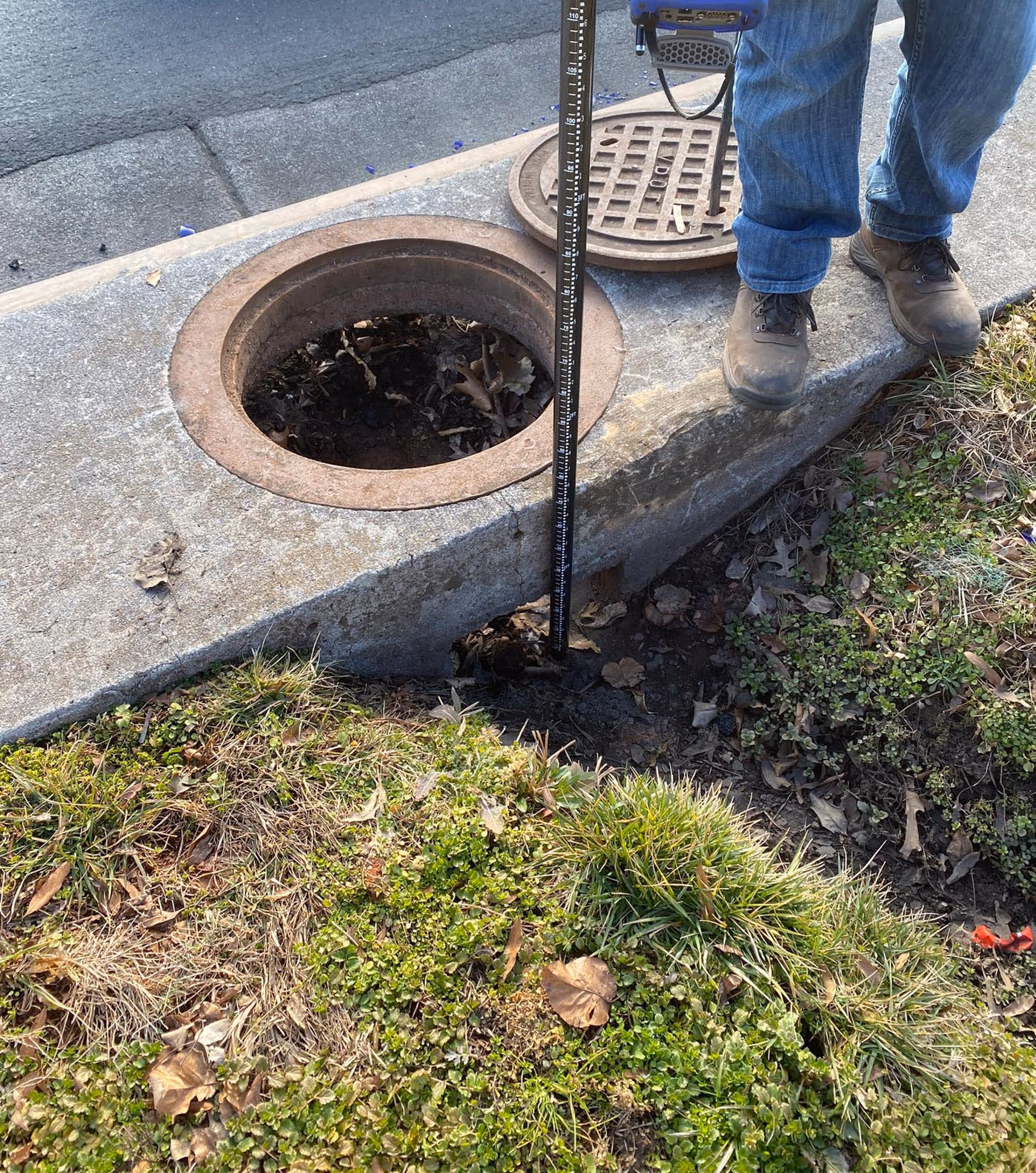
Quality Level B
Information obtained through the application of appropriate surface geophysical methods to determine the existence and approximate horizontal position of subsurface utilities. Quality Level B data is surveyed to project control and supports design development and conflict evaluation.
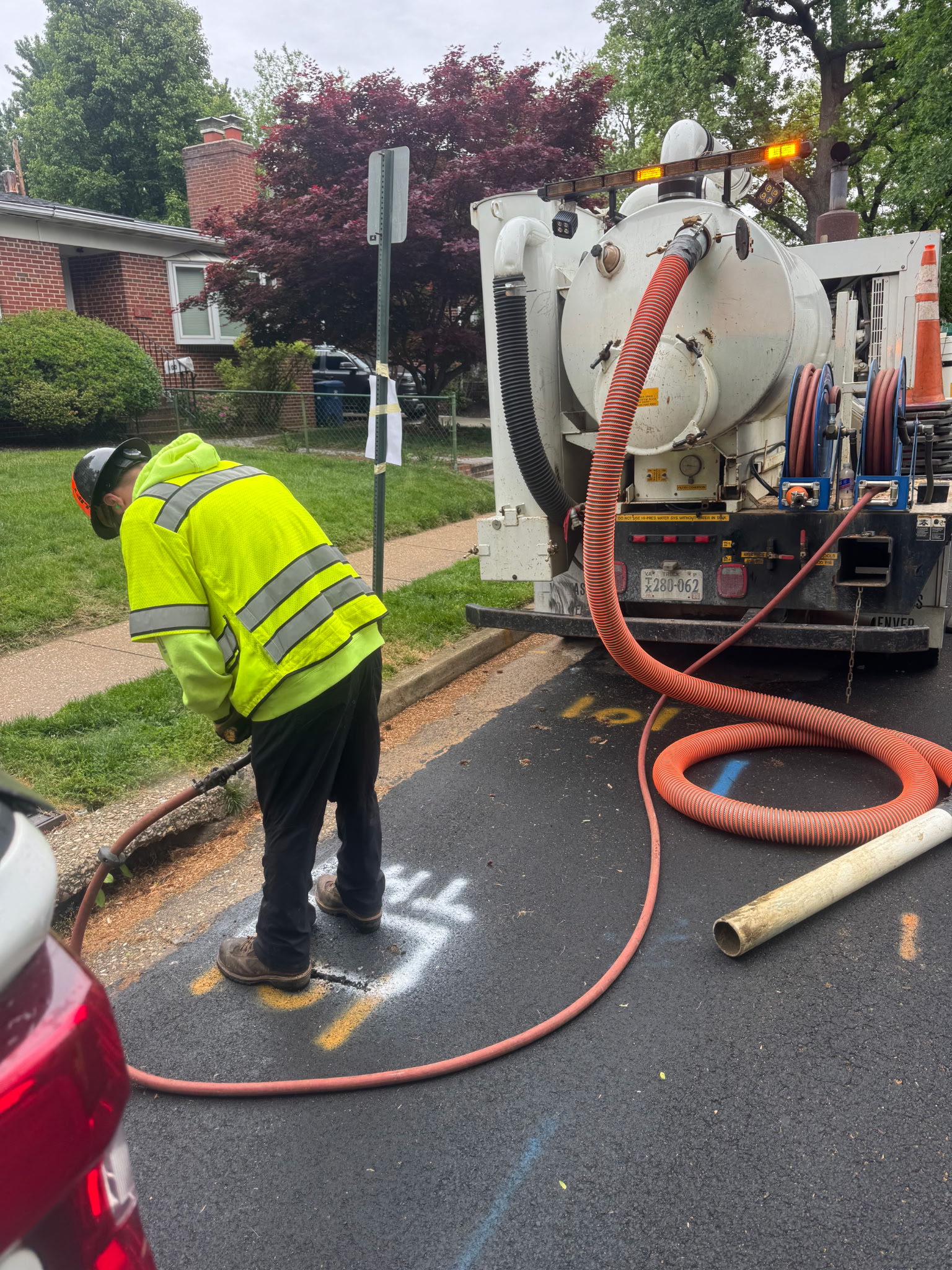
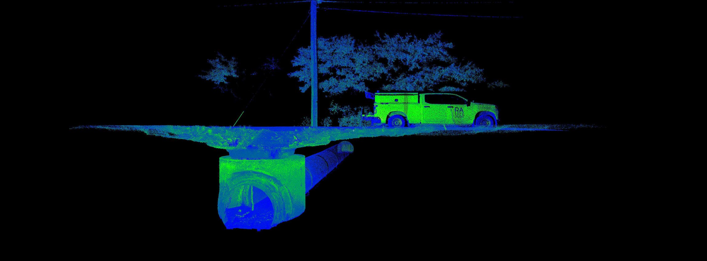
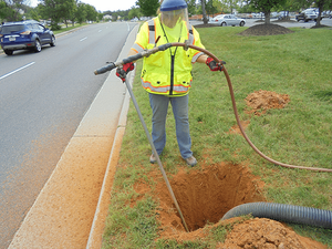
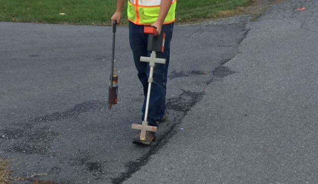
Quality Level A
The highest level of utility information, obtained by physically exposing utilities through vacuum excavation. Quality Level A provides precise horizontal and vertical utility locations at critical points for design verification and construction coordination.

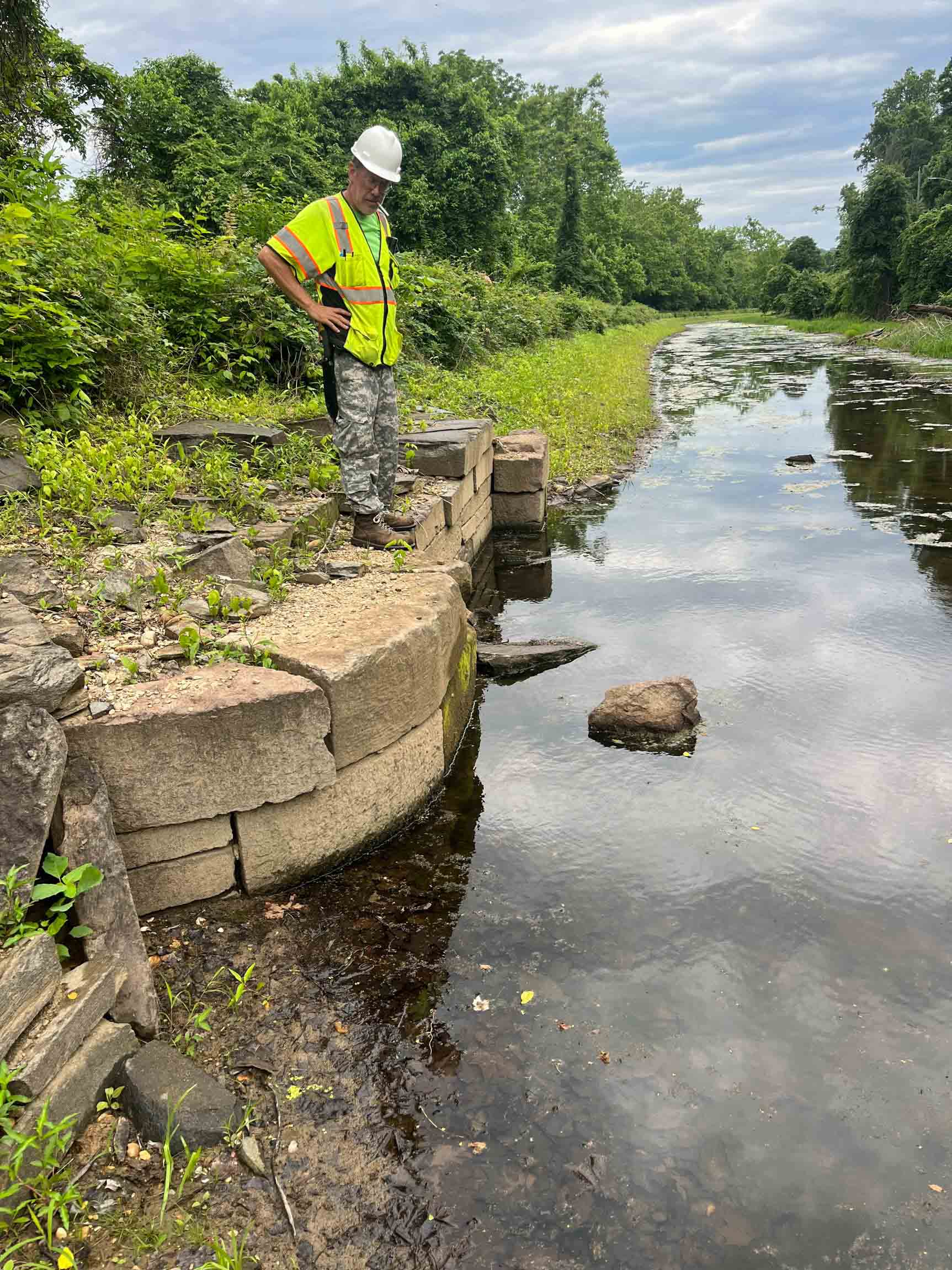
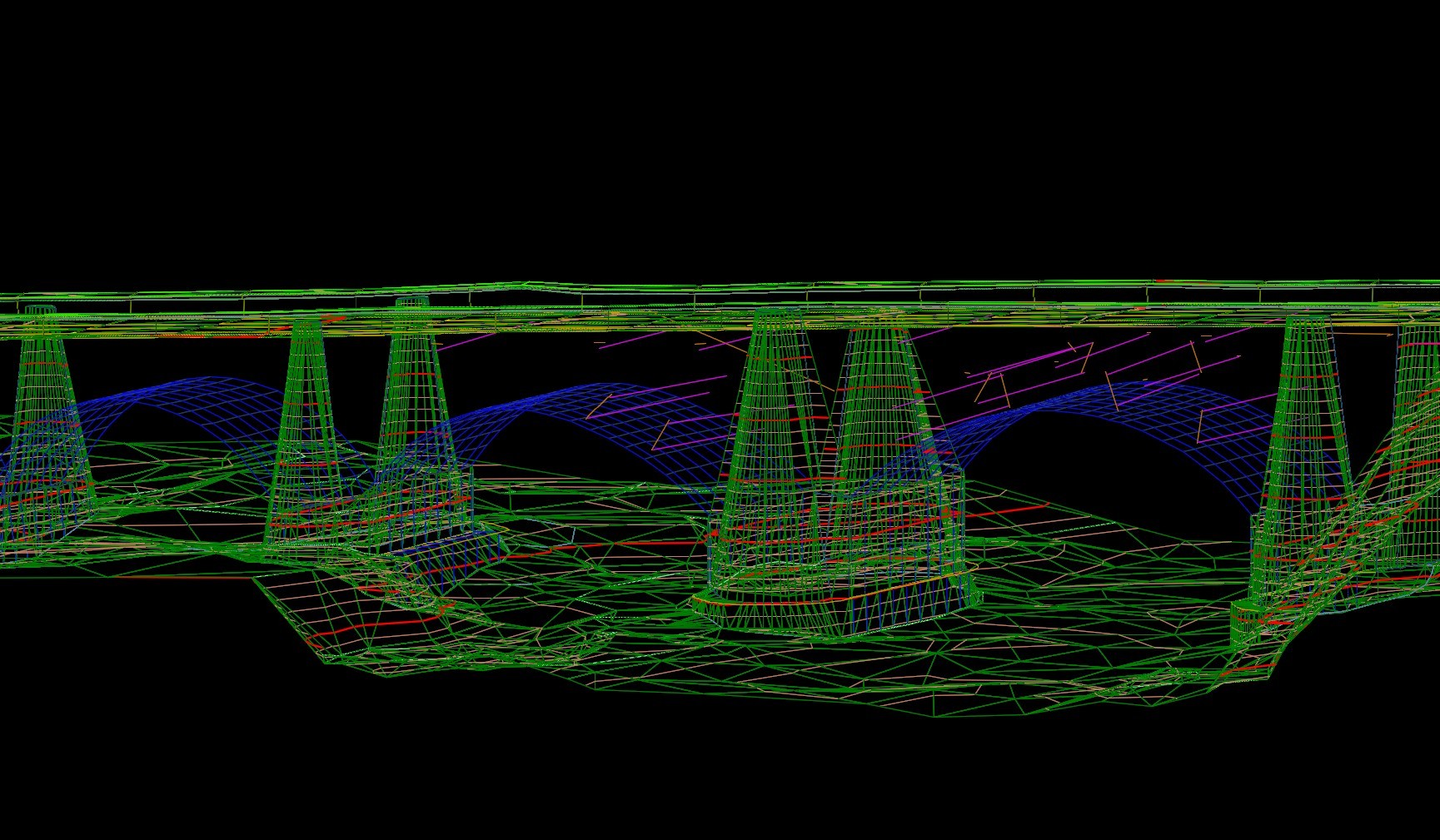
Our SUE Projects
Explore our diverse range of successful projects.


Don't just take our word for it!
(But we do think we're pretty great!)
"Rice Associates’ versatility, flexibility, and responsiveness have made them a great asset to the team."
Senior Transportation Project Manager | WSP