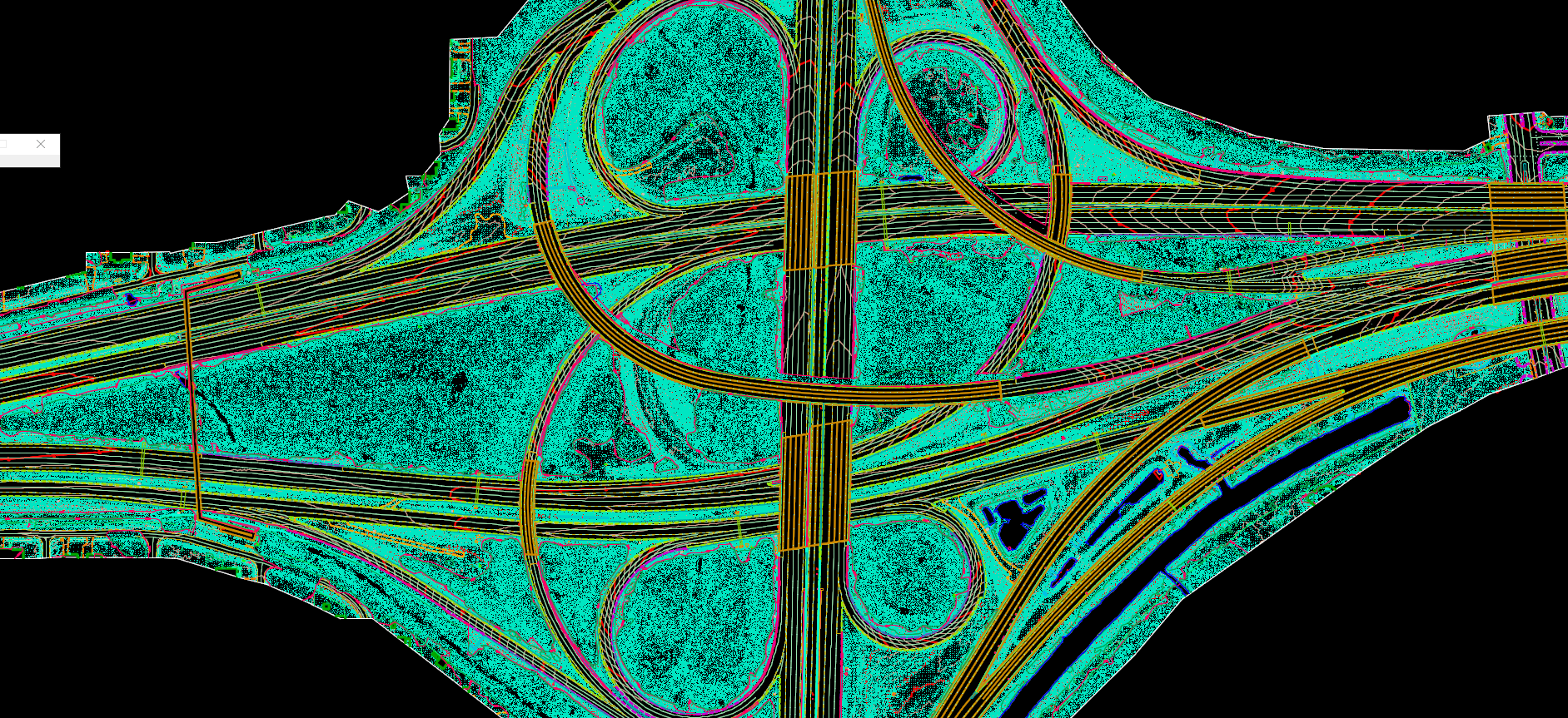
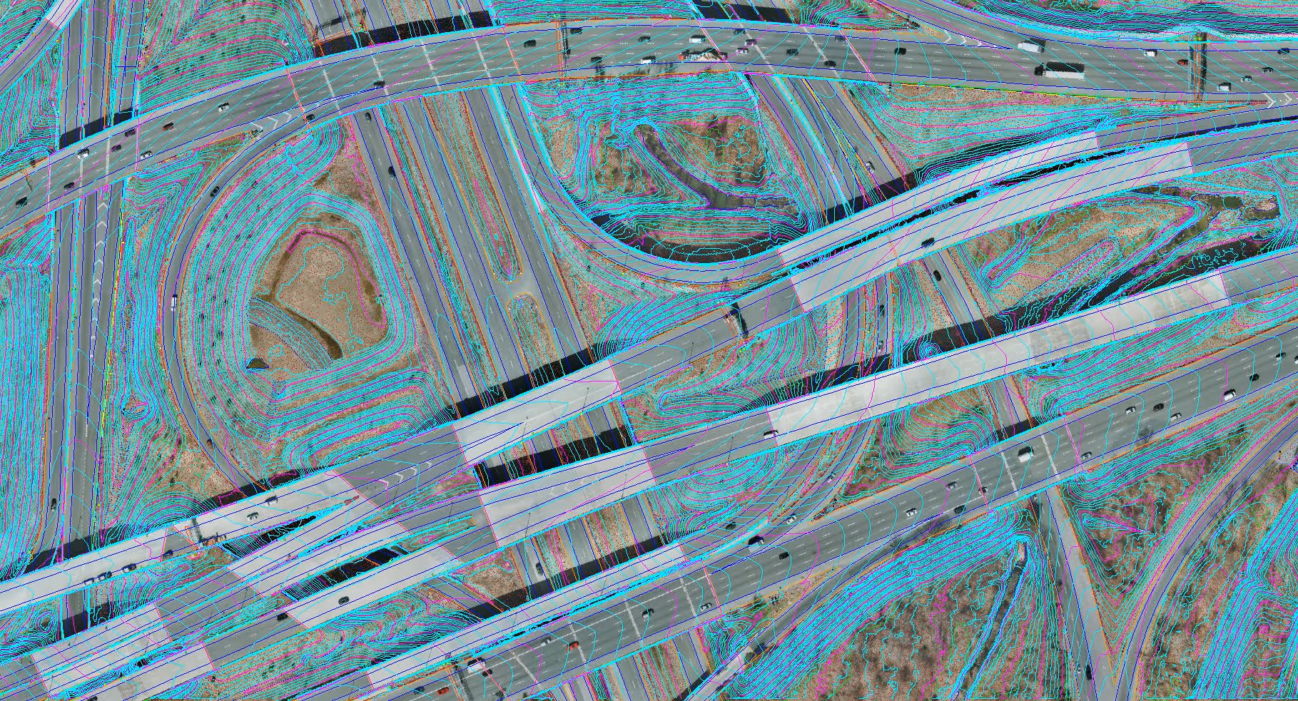
Data Fusion
Integrated Mapping and Analysis
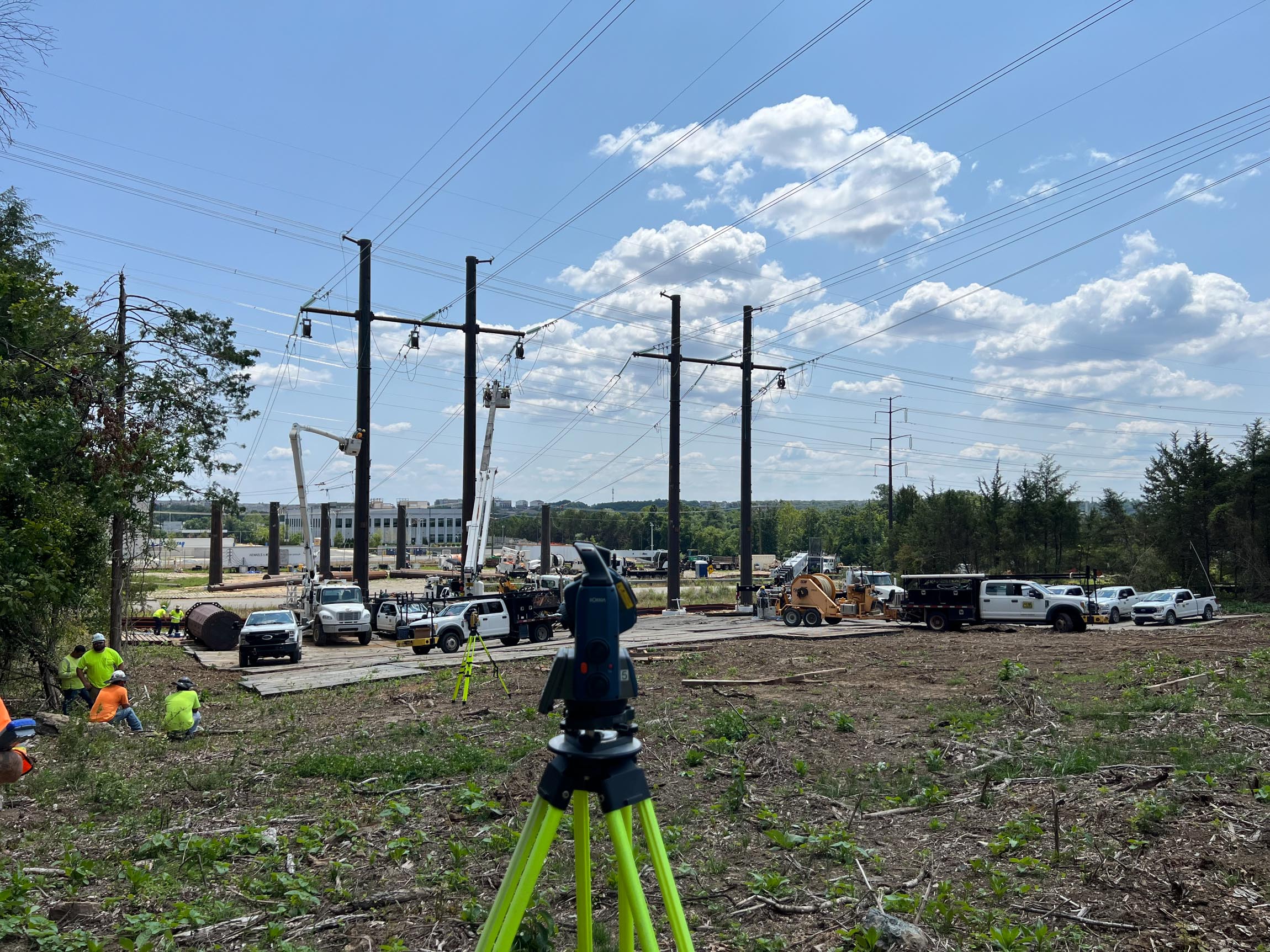
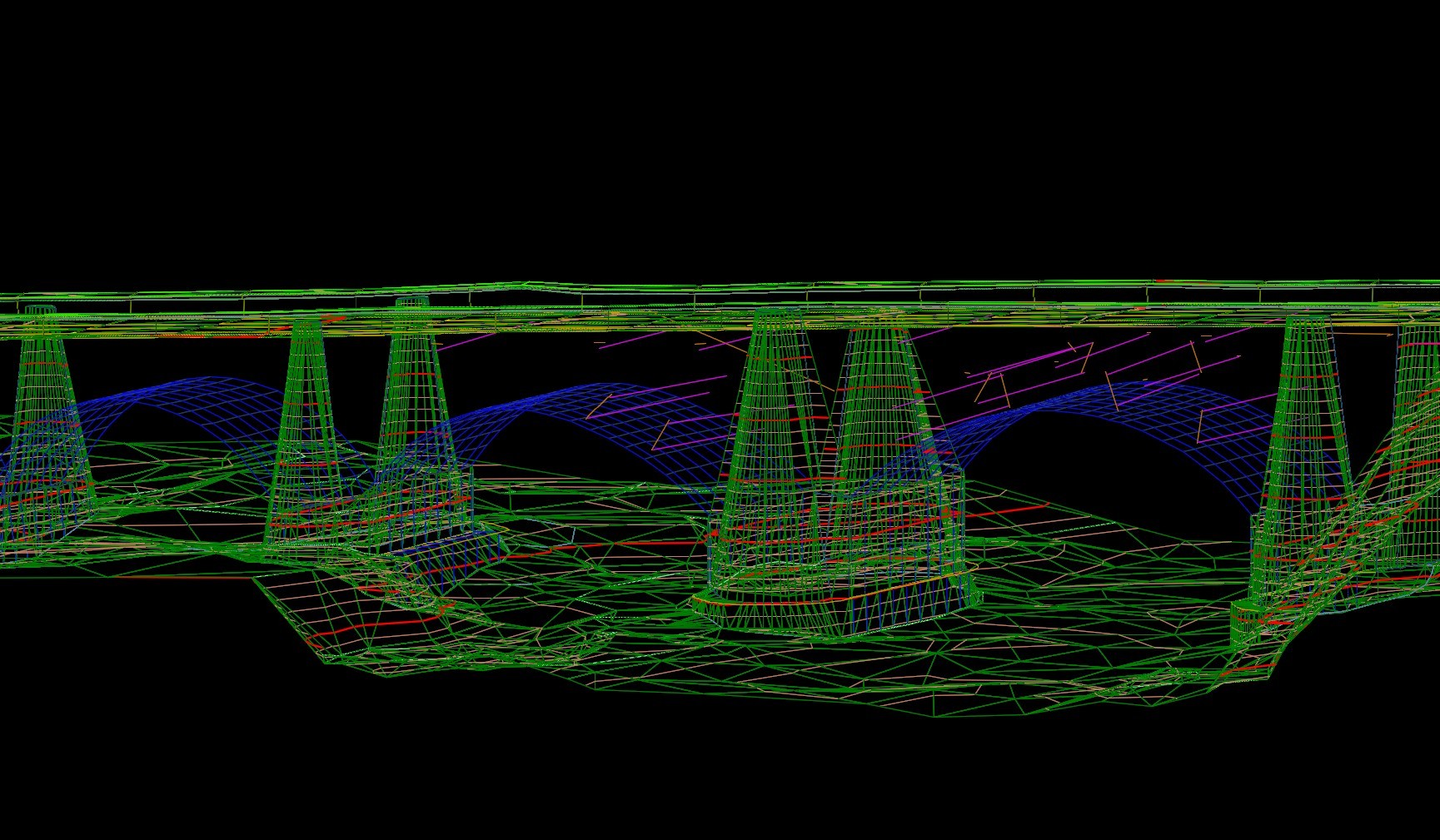
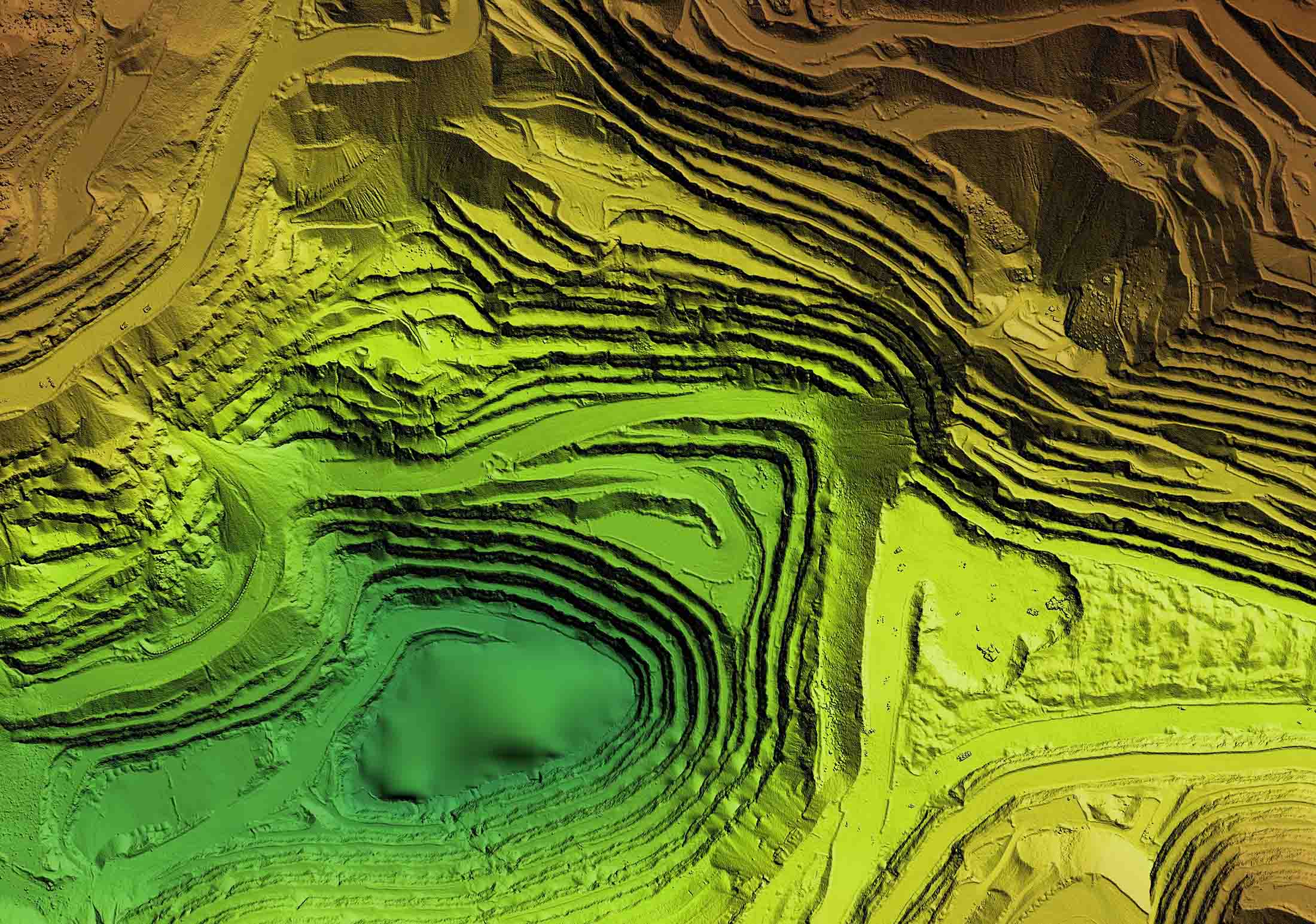
Rice provides data fusion services that bring survey, LiDAR, photogrammetry, UAS, and utility data together into a single, coordinated mapping product. By integrating multiple data sources, we deliver a complete and reliable representation of existing conditions to support design and decision‑making.
Data fusion workflows may incorporate data collected by Rice as well as data provided by clients or project partners and are managed to ensure consistency, accuracy, and compatibility across all deliverables.
Data Fusion Services

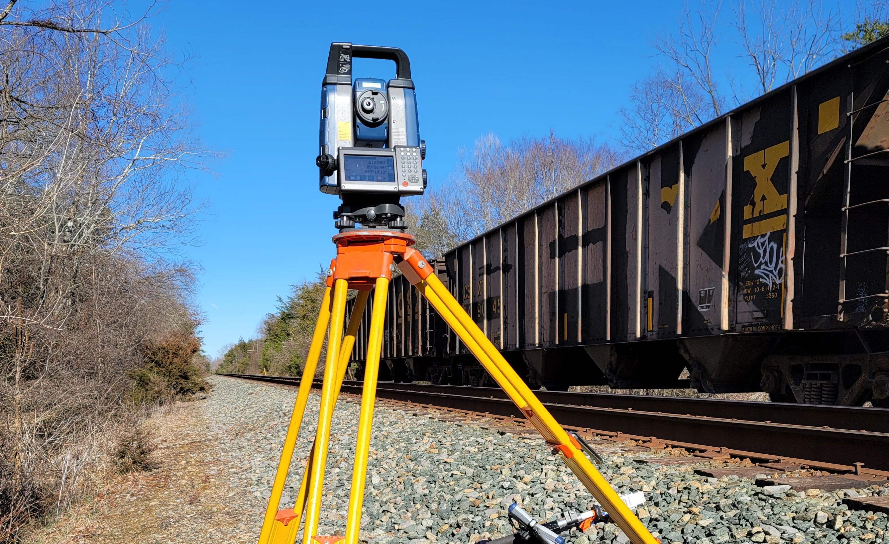
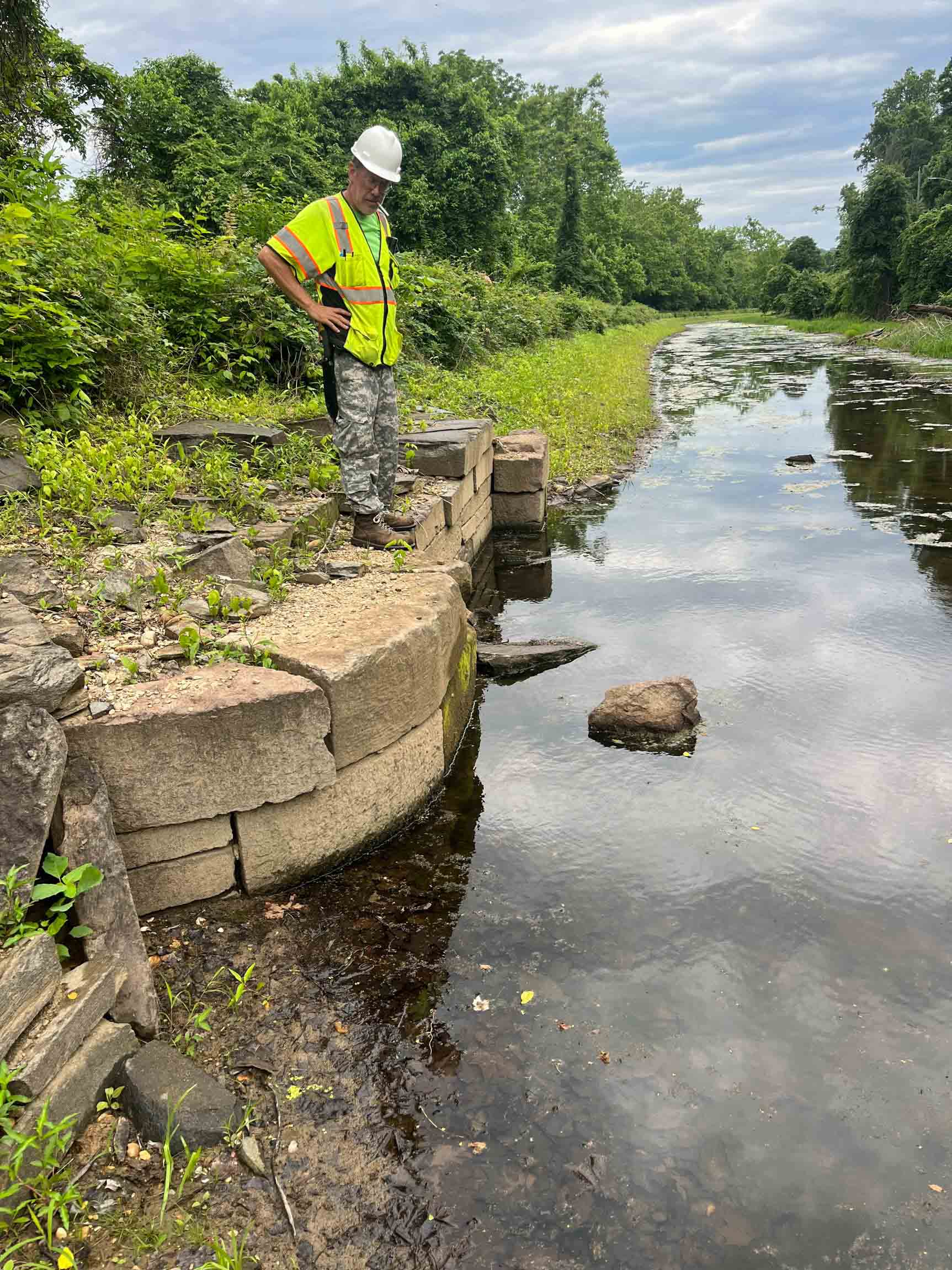
Our Data Fusion Projects
Explore our diverse range of successful projects.


-sm.jpg)

Don't just take our word for it!
(But we do think we're pretty great!)
"Rice Associates’ versatility, flexibility, and responsiveness have made them a great asset to the team."
Senior Transportation Project Manager | WSP