Pope's Head Road Property and Topographic Survey
Fairfax County, VA
Project Details
RA was contracted by VDOT to support construction of a shared-use path linking Fairfax County Parkway Trail to the future Patriot Park, including road widening and intersection improvements in the project area.
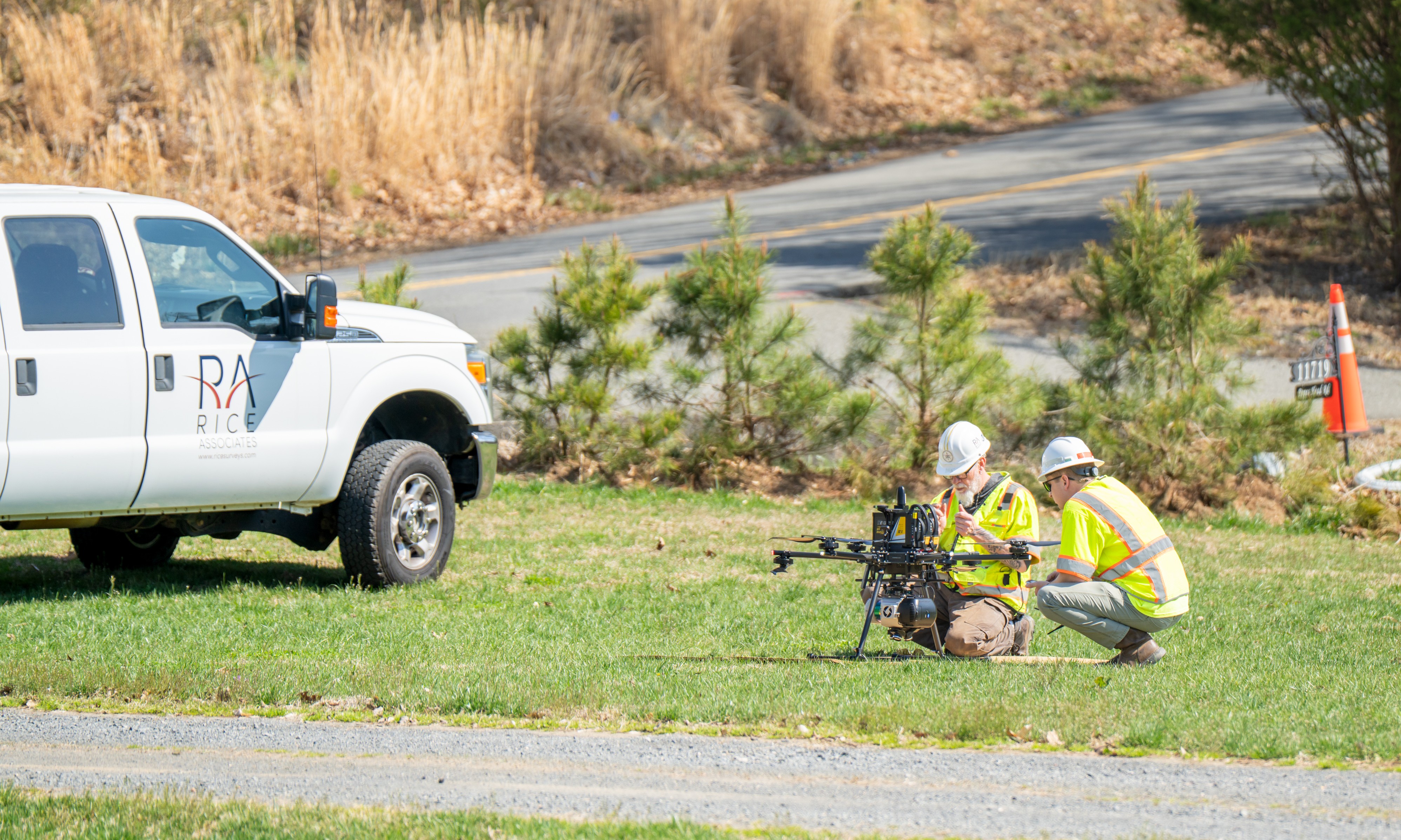
RA staff performed a full location survey of the project area (9 adjacent private properties), including a total of 12 aerial targets were placed and surveyed to control the photogrammetric mapping. The data was compiled and merged seamlessly into the overall project digital terrain model. The majority of data was collected with UAS and supplemented with conventional survey methods.
Client
Virginia Department of Transportation (VDOT)
Location
Fairfax County, VA