UAS Program Drone and Aerial LiDAR Demonstration
Fairfax County, VA
Project Details
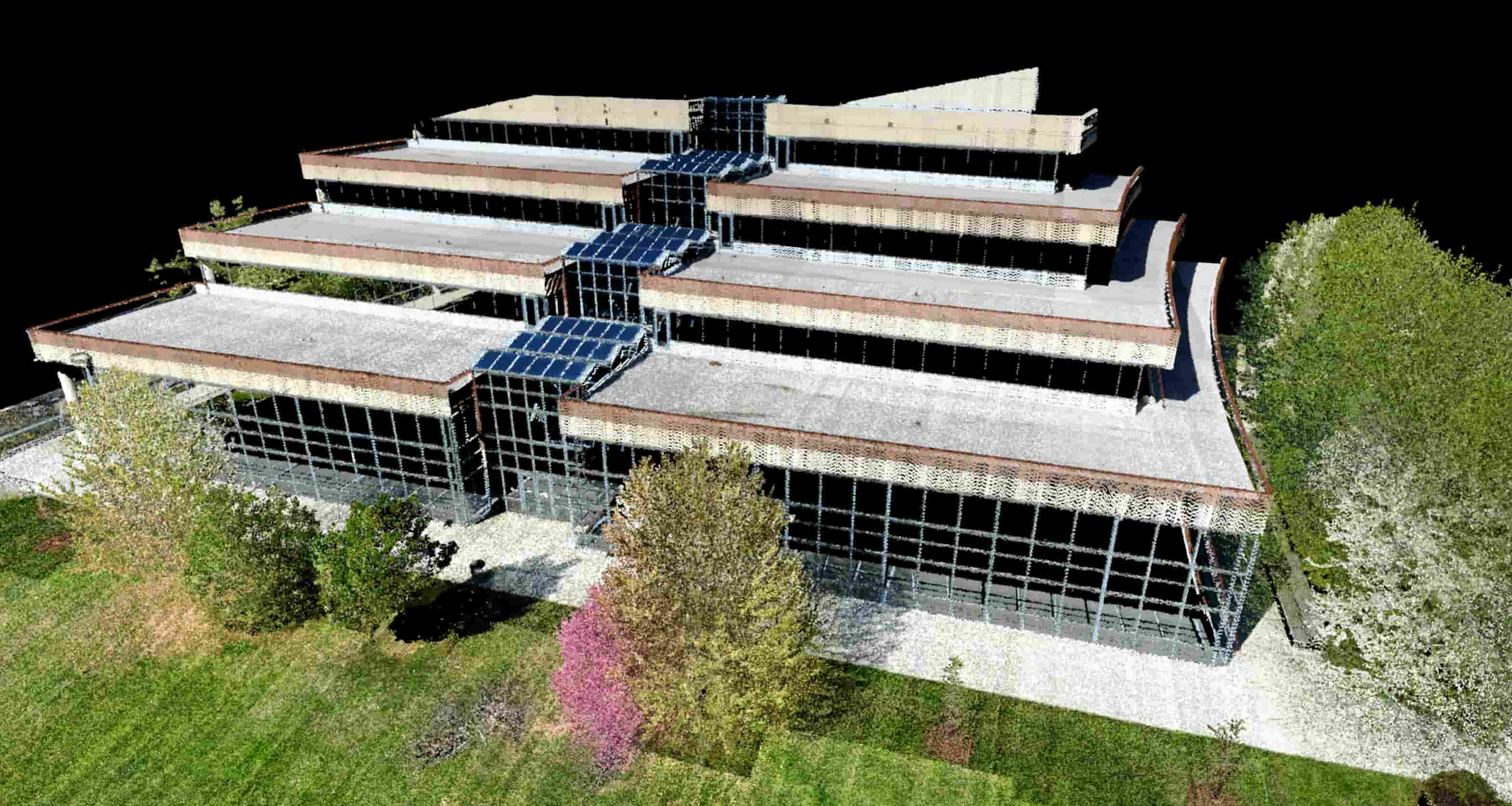
RA’s Unmanned Aerial System Program received a direct request from Fairfax County staff to demonstrate the program's aerial LiDAR and building conditions assessment capabilities. County staff were seeking cost-effective ways to assess roofs on county buildings, including identifying any needed repairs.
After the required airspace coordination with the county and mission planning, RA staff provided a flight demonstration of the UAS Program’s ability to conduct photogrammetry services, topography survey (including landscaping on property), and building façade survey. Final deliverables included an ortho photogrammetric mosaic of the demonstration building and point cloud data.
Client
Fairfax County
Location
Fairfax County, VA