I-64 High-Rise Bascule Bridge Survey
Chesapeake, VA
Project Details
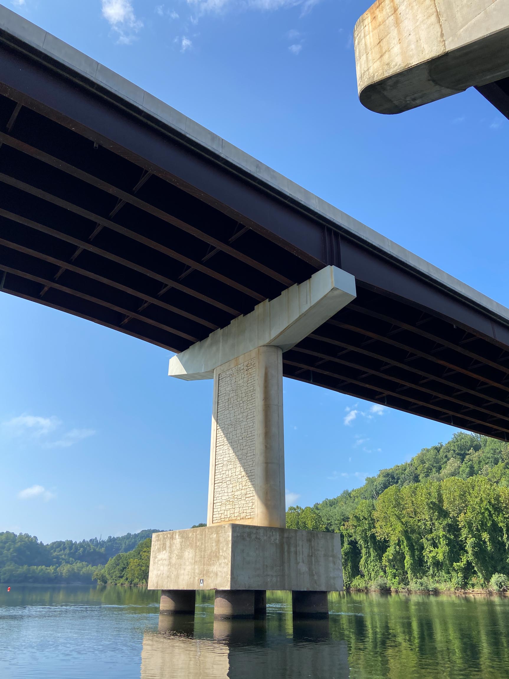
The high-rise bridge is a 4-lane, double-leaf bascule bridge that spans the Elizabeth River along Interstate 64 in Chesapeake, VA. This project replaced the steel grid decking of the double-leaf bascule span that was originally built in the 1960’s and last replaced in the 1990’s. In support of the grid deck replacement effort, RA staff performed a high-definition LiDAR scan survey of the existing bascule span structure.
High-definition LiDAR scanning along with conventional and GNSS survey methods were utilized to establish project control and collect LiDAR point cloud data on the requested features of the bascule span structure.
Client
HDR for Virginia Department of Transportation (VDOT)
Location
Chesapeake, VA