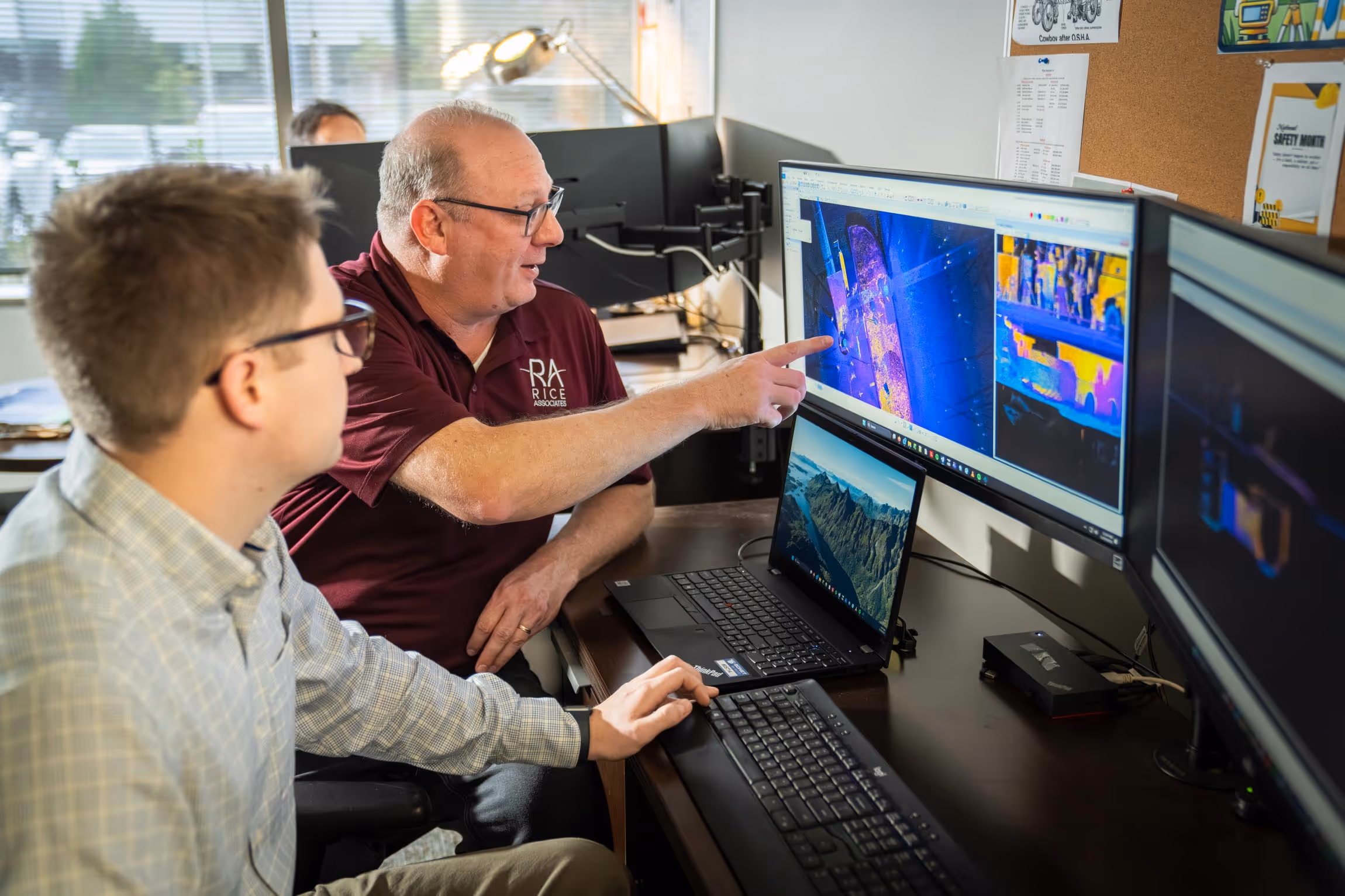
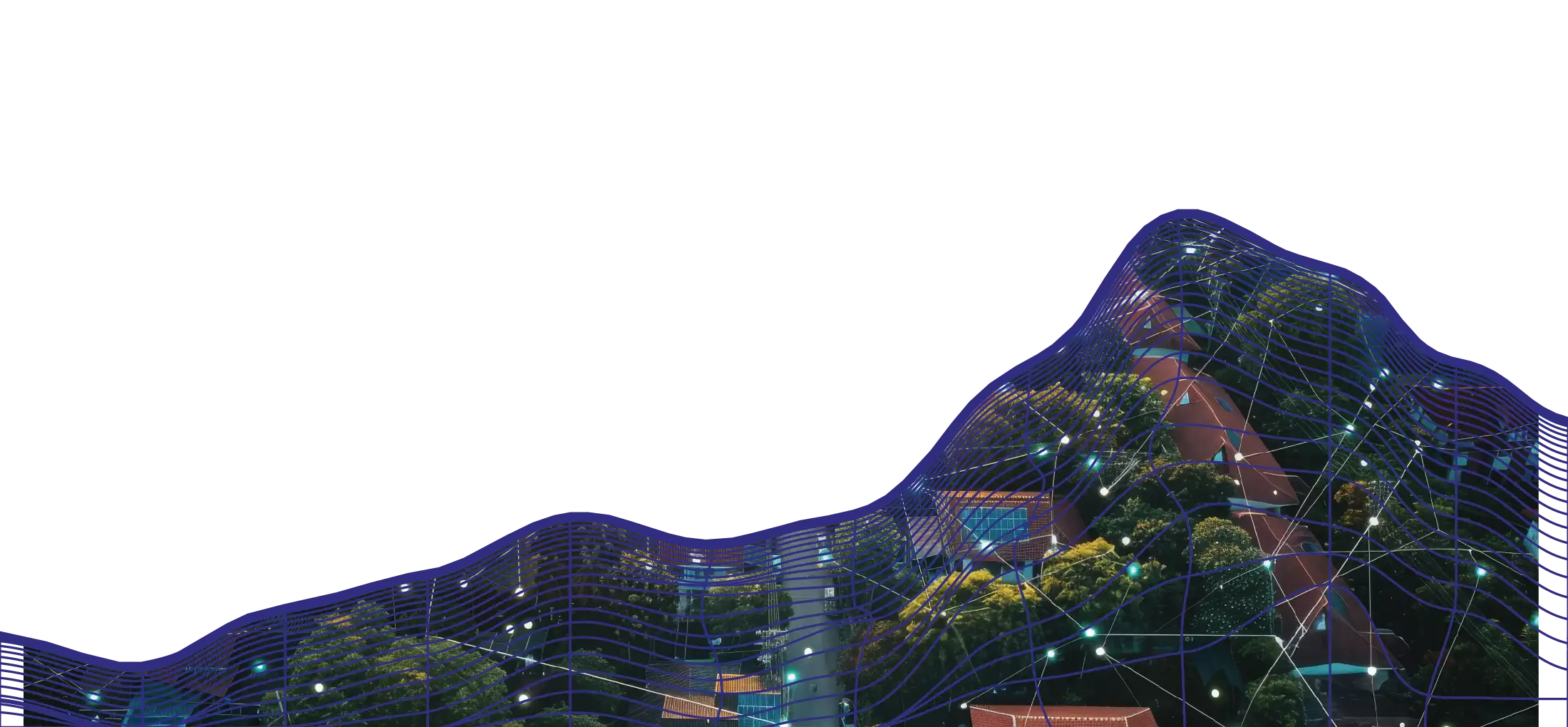
Advanced Lidar Data Collection
Rice provides LiDAR services delivered through aerial, mobile, terrestrial, and high‑definition scanning approaches to support infrastructure projects. These services are integrated with conventional surveys and other geospatial data to deliver accurate, reliable mapping products.
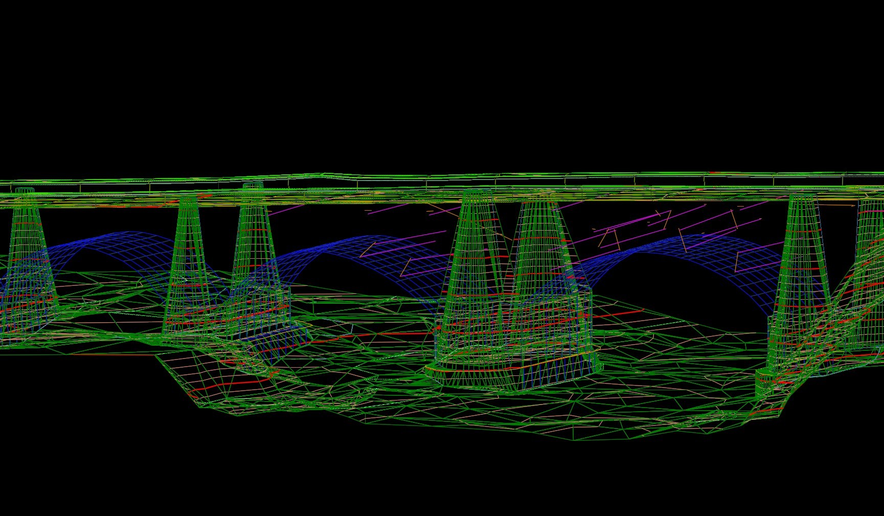
Aerial LiDAR
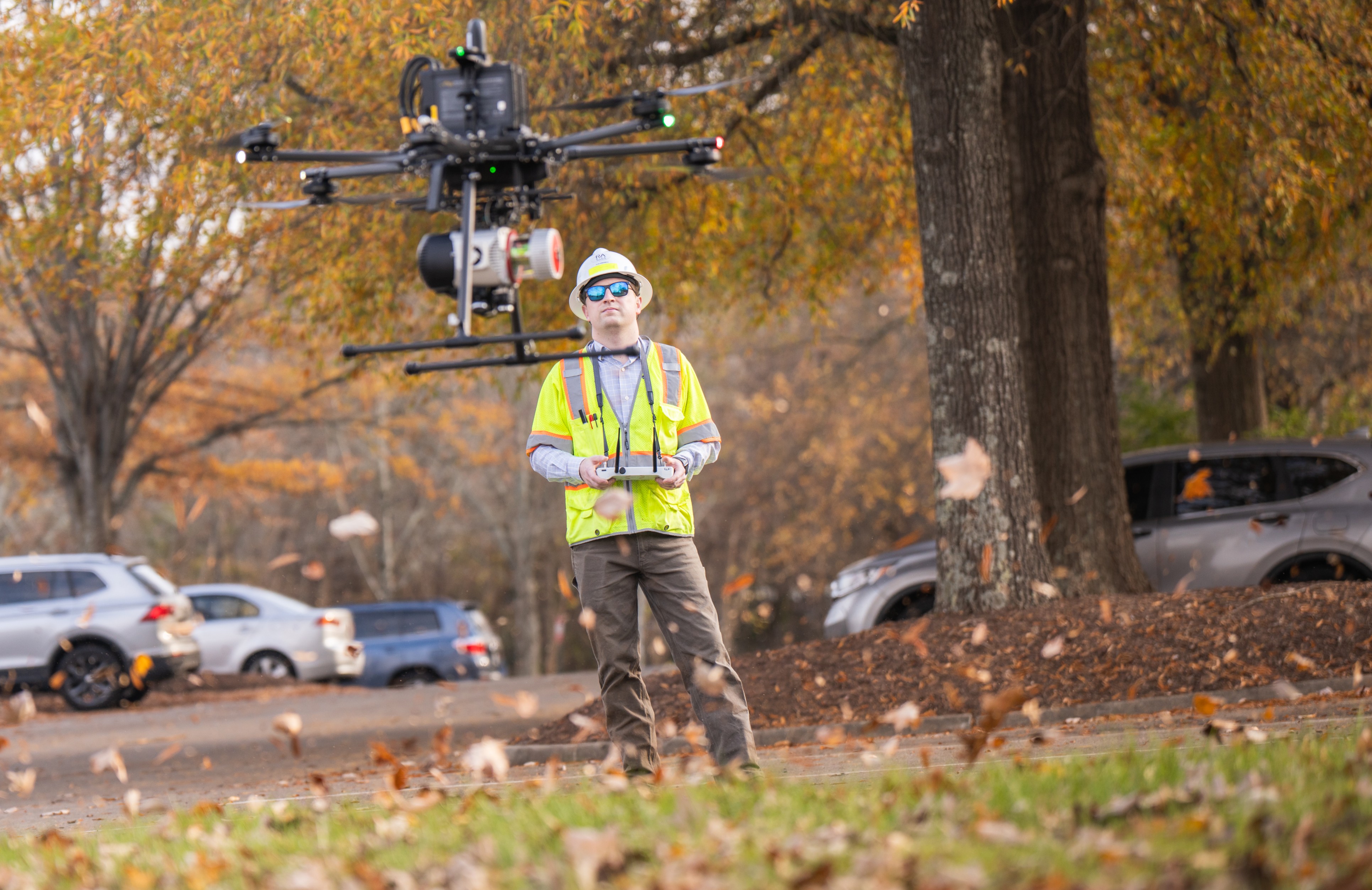
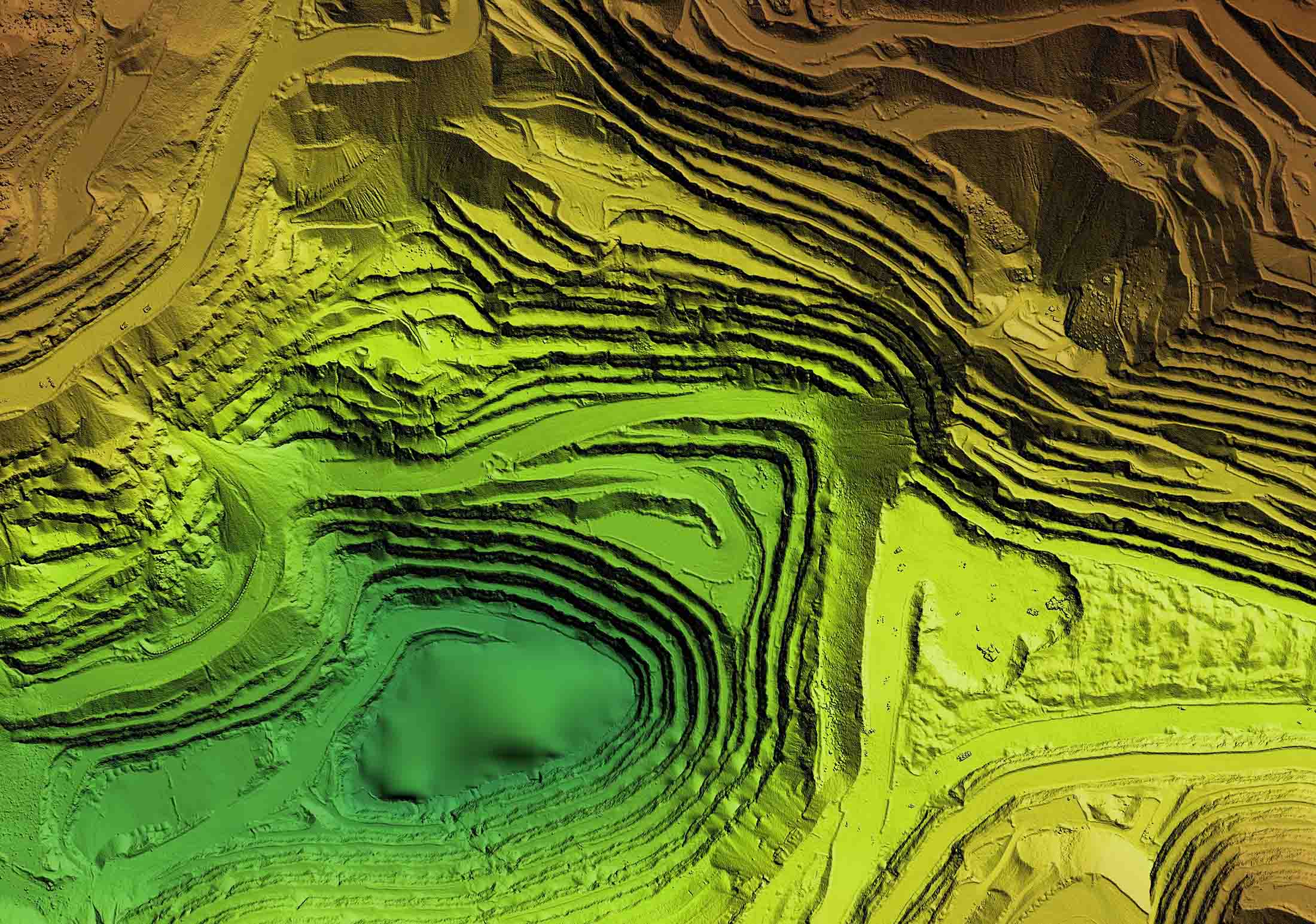
Rice provides aerial LiDAR services using fixed‑wing aircraft, helicopters, and Unmanned Aerial Systems (UAS) to efficiently capture elevation data across large areas and corridor projects. Aerial LiDAR supports terrain modeling, topographic mapping, and bare‑earth surface development where broad coverage and schedule efficiency are critical.
Aerial LiDAR data is integrated with conventional survey, mobile and terrestrial LiDAR, photogrammetry, and other geospatial data to support coordinated mapping deliverables.
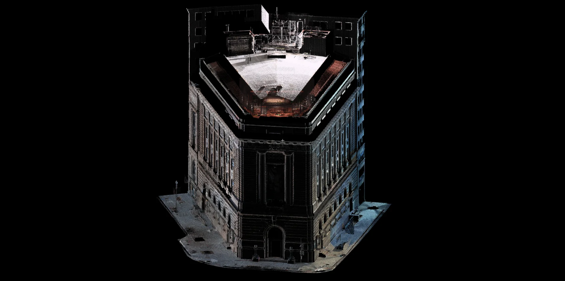
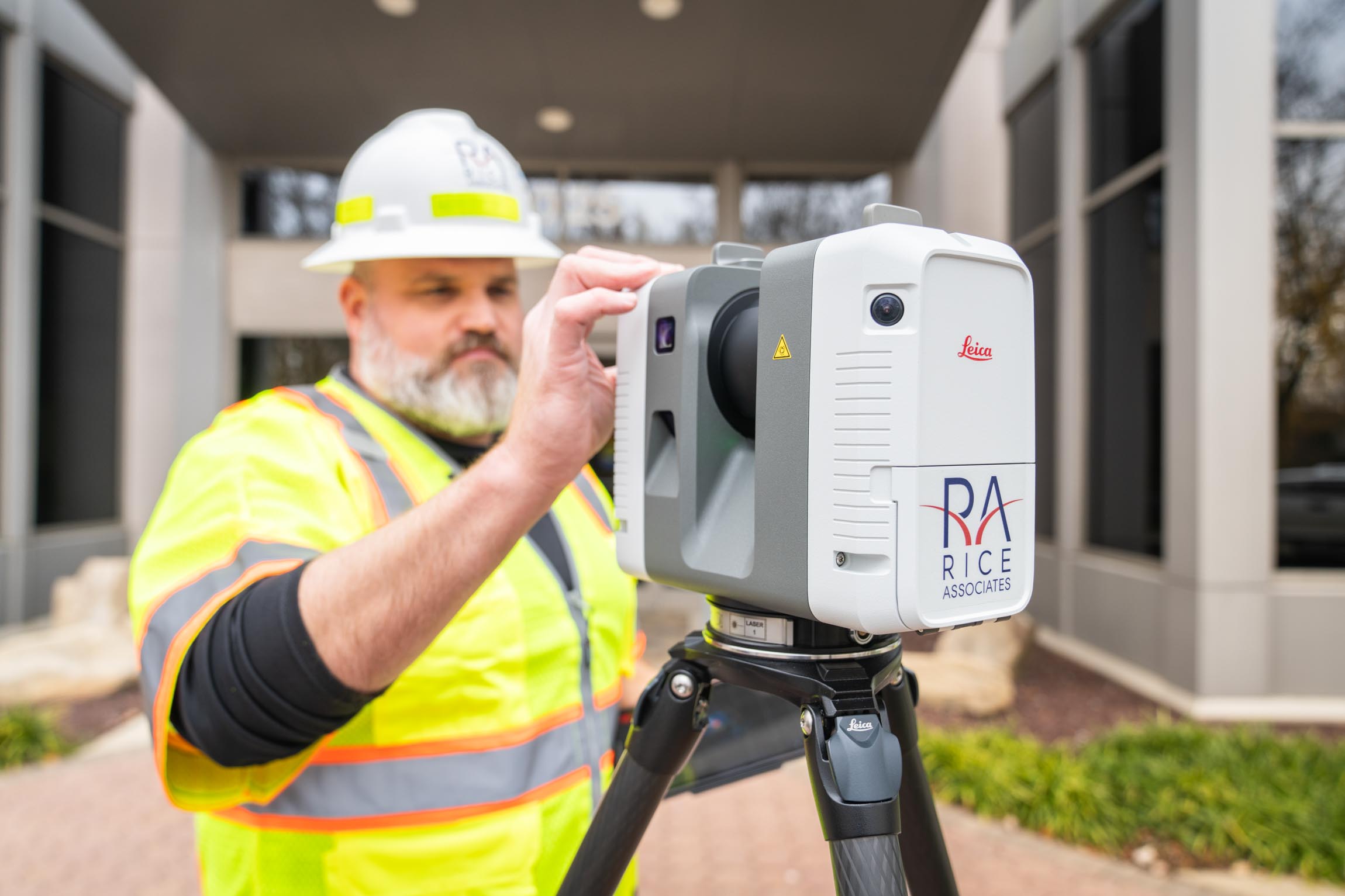
High-Definition Scan
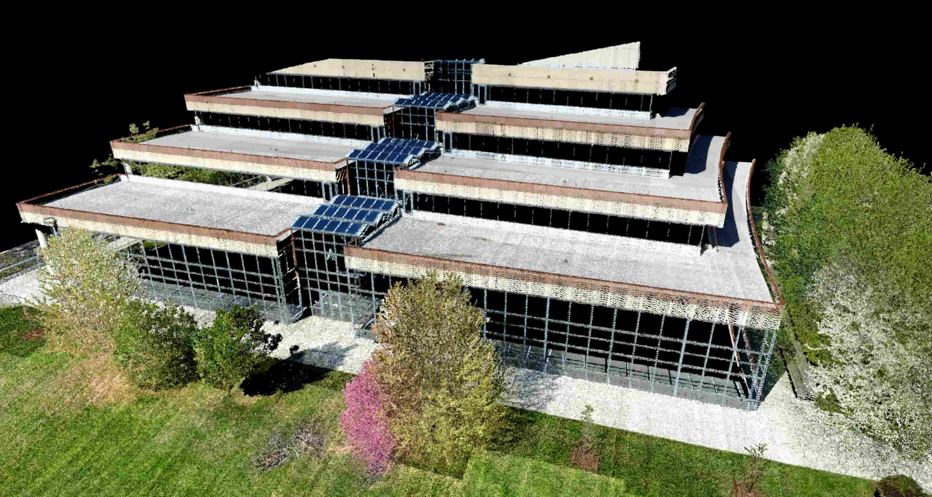
Rice provides high‑definition LiDAR scanning to document existing building and structure conditions with a high level of detail and clarity. Using terrestrial scanning methods, this service supports projects where precise representation of geometry is critical for design, rehabilitation, and construction planning.
High‑definition scanning is commonly applied to buildings, bridges, tunnels, and complex structural features and integrates with other survey and LiDAR services to support coordinated project deliverables.
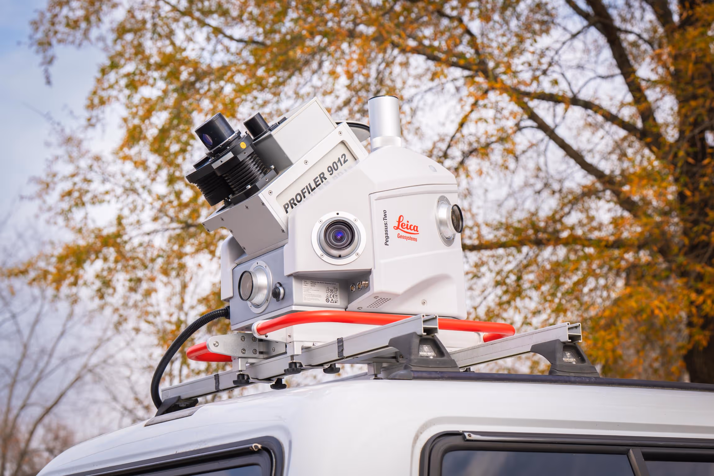
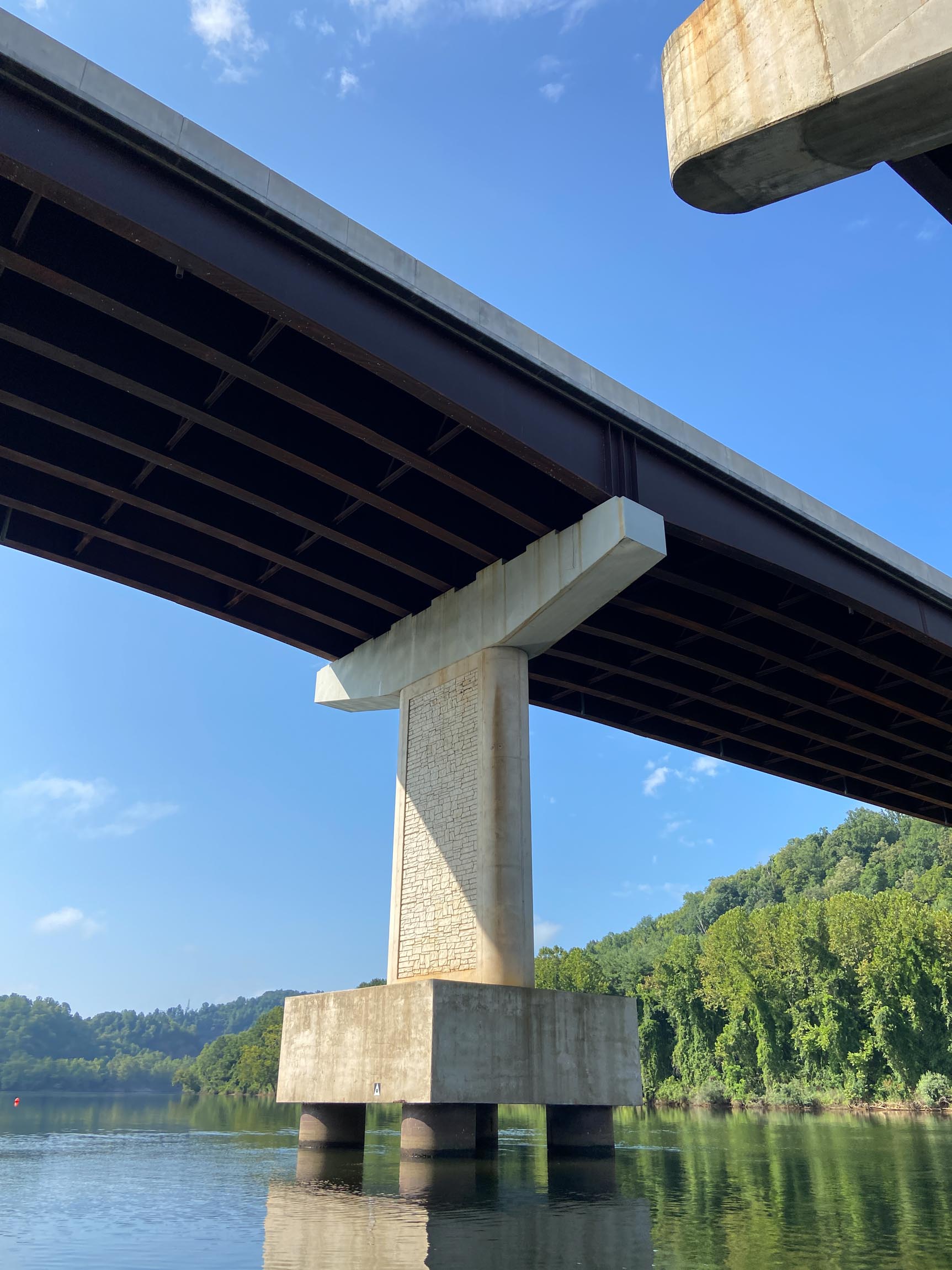
Mobile LiDAR
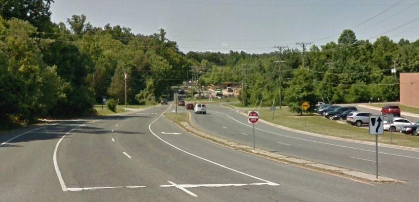
Rice provides mobile LiDAR services for roadway, corridor, and transportation projects where safety, access, and schedule are key considerations. Vehicle‑based data collection allows detailed three‑dimensional information to be captured efficiently while minimizing traffic impacts and reducing time spent in the field.
Mobile LiDAR data is integrated with conventional survey, terrestrial LiDAR, aerial LiDAR, and other geospatial data to support coordinated mapping deliverables.
Terrestrial LiDAR
Rice provides terrestrial LiDAR services using ground‑based scanning methods to capture detailed three‑dimensional data where controlled data collection is required. This approach is well suited for documenting sites, corridors, and infrastructure in environments where safety, access, or site conditions limit the use of mobile or aerial platforms.
Terrestrial LiDAR data is integrated with conventional survey, mobile LiDAR, aerial LiDAR, and other geospatial data to support coordinated mapping deliverables.
Our LiDAR Projects
Explore our diverse range of successful projects.

-sm.jpg)
Don't just take our word for it!
(But we do think we're pretty great!)
"Rice Associates’ versatility, flexibility, and responsiveness have made them a great asset to the team."
Senior Transportation Project Manager | WSP