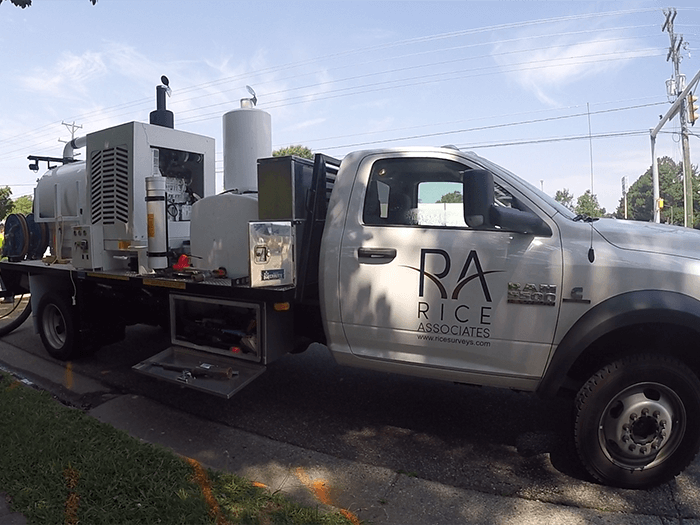

Rice Associates provides many solutions to utility challenges. Unanticipated costs and major schedule delays can be attributed to a lack of information on buried infrastructure. We have the expertise and equipment in-house to accurately depict and map underground utilities on a wide range of projects, thus reducing the risk of damaged utilities or contractor claims.
STANDARD OF CARE
All utility projects we perform adhere to The American Society of Civil Engineers' (ASCE) standard of care guideline, the Standard Guideline for the Collection and Depiction of Existing Subsurface Utility Data, CI/ASCE 38-02. This standard guideline describes four quality levels of utility depiction:
Quality Level D - Information derived from existing records or oral recollections.
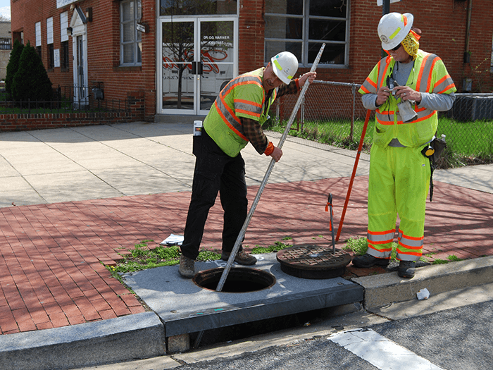
Quality Level C - Information obtained by surveying and plotting visible above-ground utility features and by using professional judgment in correlating this information to Quality Level D.
Quality Level B - Information obtained through the application of appropriate surface geophysical methods to determine the existence and approximate horizontal position of subsurface utilities.
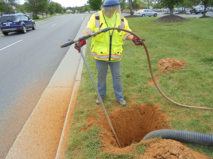
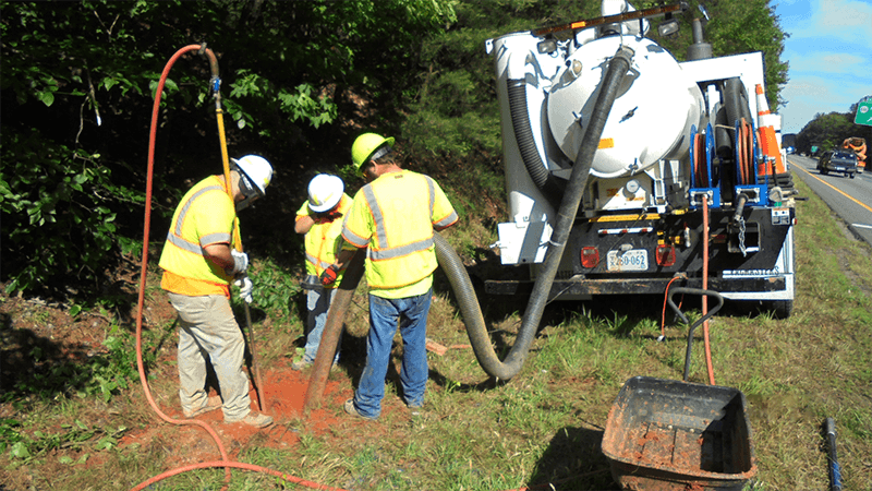
Quality Level A - Precise horizontal and vertical location of utilities obtained by the actual exposure and subsequent measurement of subsurface utilities, usually at a specific point.